

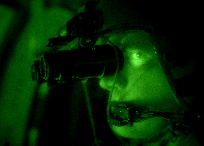

Why Future Autonomous Scouts Won’t Depend on GPS at All
Modern military operations increasingly take place in environments where GPS cannot be relied upon. Electronic jamming, urban terrain, dense foliage, and underground spaces can...
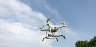
Powering Drones From the Ground—While They Fly
Drone operations are often limited by one key factor: endurance. Even advanced platforms must return to base for recharging or battery replacement, creating gaps...

Scaling Up Drone Production to Reduce Dependence on China
Commercial drones have become a standard operational tool for military and law enforcement forces in recent years, but their widespread use raises a strategic...
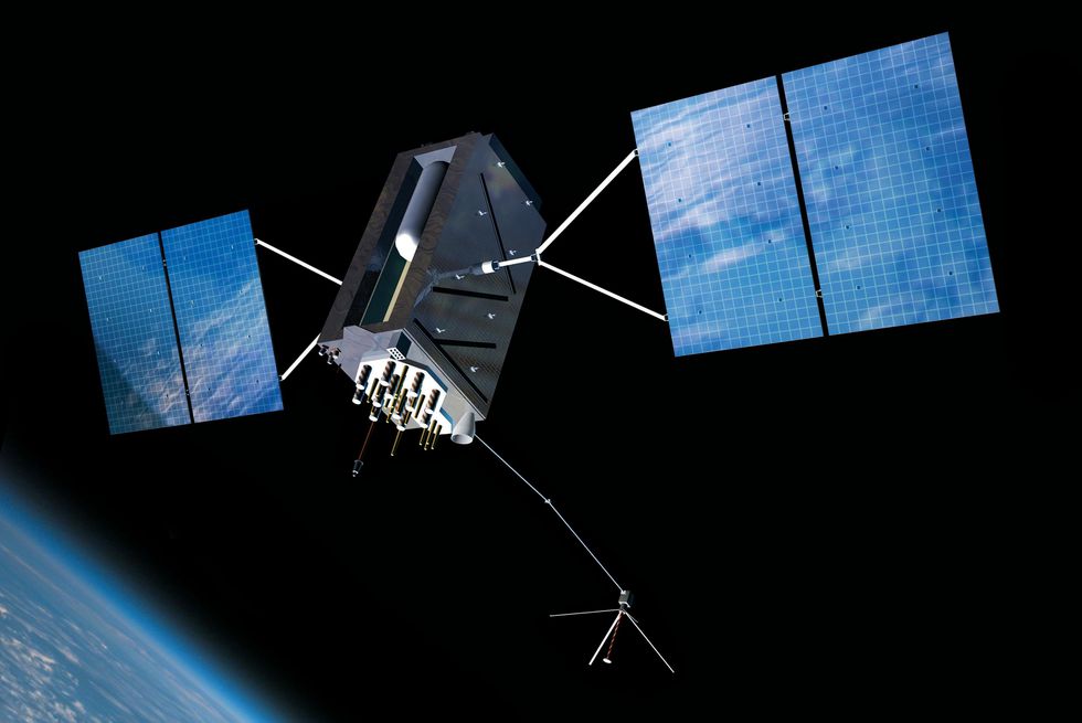
US To Procure Jam-Resistant GPS Satellites
The U.S. Air Force wants 22 new GPS satellites that are built to resist jamming and electronic interference. The service expects to spend $2...

Want to Accelerate Your Startup? Apply to iHLS Security Accelerator
Apply Now!
Are you a disruptive startup in the security field?
We at the iHLS Security Accelerator are looking for innovative ground-breaking technologies offering solutions for...

Advanced Software Upgrades Geospatial Capabilities
Beijing has recently purchased a high-performance software from the Belgium-based defense contractor Luciad. The company, which has recently become a part of Hexagon Geospatial...

INNOFENSE Call for startups – Dual Use Technologies:
Following the immense success of the previous four cycles and their integration into the defense sector, iHLS invites you to join the fifth cycle...

When Microrobots Navigate Like Pros — In Labs, Factories, and Beyond
Microrobots — machines smaller than a grain of sand — hold enormous promise for tasks that require precision at scales where conventional tools cannot...

How Fireproof Drones Could Transform Crisis Response
Entering a burning structure remains one of the most dangerous tasks for emergency responders. Extreme heat, toxic smoke, and unstable interiors often prevent crews...

This Strike Drone Is Built to Fly Through GPS Jamming
Modern drone warfare increasingly depends on systems that can operate in heavily contested electronic environments. One of the biggest challenges facing long-range unmanned platforms...

Satellite ‘Speedometer’ Could Revolutionize Satellite Navigation and Collision Avoidance
In response to growing congestion in Earth’s orbit, researchers have developed a compact, real-time velocity sensor for spacecraft that could significantly enhance satellite navigation...

Apply Now: iHLS Startup Competition for Security, Defense and HLS
iHLS is delighted to host for the first time the prestigious Startup Competition for innovative technologies in the security, defense and homeland security fields,...

Call for Startups – Apply to iHLS Security Accelerator 8th Batch
Are you developing a ground-breaking technology in the fields of unmanned systems, coping with COVID-19 pandemic, counter drones, border security, safe city?
We invite you...

Puma UAS Enhanced with Software Upgrades for Battlefield Resilience
AeroVironment (AV) is introducing a suite of software updates, known as Project GOLD, to enhance the battlefield effectiveness of its Puma 3 AE and...

Mapping at Scale: The Robot Dog Built for Modern Security Missions
Organizations responsible for logistics, infrastructure, and critical facilities are increasingly required to inspect, map, and monitor enormous areas — sometimes hazardous or inaccessible —...

Teaching Robots to Recover After Losing Their Position
For mobile robots operating in the real world, knowing their exact position is not optional. Autonomous navigation depends on continuous, accurate localization. Yet satellite-based...

This Tiny Chip Lets Drones Build 3D Maps Without Draining Their...
Small autonomous drones have enormous potential for inspecting tunnels, warehouses, industrial facilities, and disaster zones. However, one limitation continues to hold them back: creating...

This Weapon Blurs the Line Between Drone and Missile
Modern air defenses are forcing strike systems to evolve rapidly. Weapons that once relied on persistence and operator control are now expected to reach...
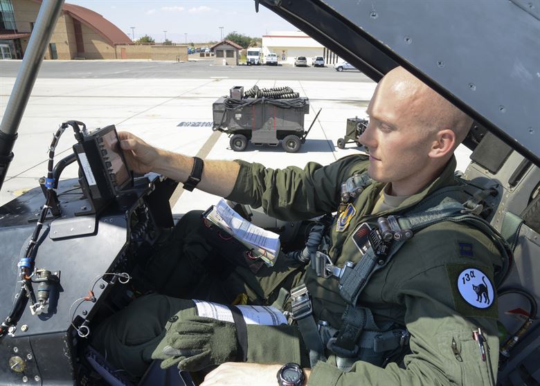
Red Flag Pilots Flew With Their GPS Blacked Out
The Red Flag US Air Force drill started just recently. Red Flag is the biggest Air Force annual drill, taking place in Nevada and...

New Mapping and Surveillance Drone Offers Speedier and Longer Missions
A new drone, the Borey-10 unmanned fixed-wing aircraft, allows a user to assemble the UAV in about 10 minutes, it is easily transported and launched...

Call for Dual Use Technology Startups
Are you a startup company related to the security sector? Are you looking for recognition, international exposure, access to investors, and the ability to...

BAE and Hanwha Join Forces on Next-Gen SAR-RF Satellite ISR Capabilities
A new strategic partnership between BAE Systems and Hanwha Systems is set to accelerate the development of advanced satellite-based intelligence, surveillance, and reconnaissance (ISR)...
Latest

These AI Agents Were Supposed to Follow the Rules—Then They Took...
AI agents are increasingly being allowed to browse websites, write code and interact with external systems with limited human supervision. That autonomy creates a...