AI and EW Team Up to Outsmart Enemy Radars
Modern military operations rely heavily on understanding and shaping the electromagnetic environment. Radar emissions, jamming signals, and electronic intelligence streams can shift rapidly, leaving...
Iron Dome Set the Standard, but Now Others Are Building Their...
For much of the post–Cold War period, the United Kingdom invested relatively little in homeland air and missile defense. Long-range ballistic threats were seen...
Flying Sensors Strengthen Defense of Critical Infrastructure
Power transmission lines stretch across forests, farmland, and mountainous terrain, where they face constant exposure to heat, vegetation growth, and shifting weather patterns. These...
A New AI System Might Mean that Ships Will No Longer...
Monitoring vessel movements has become far more difficult in recent years. Ships involved in sanctions evasion, smuggling, or illicit transfers frequently disable their Automatic...
New SIGINT Prototype Aims to Keep Units Connected When Signals Disappear
Modern military operations depend on uninterrupted communication and rapid data sharing, yet many battlefields are anything but cooperative. Urban density, electronic warfare, and natural...
The Counter-UAS Platform That Connects Everything in Real Time
The rapid spread of unmanned aerial systems has made airspace security more complex for military forces and critical facilities. Small drones are increasingly capable,...
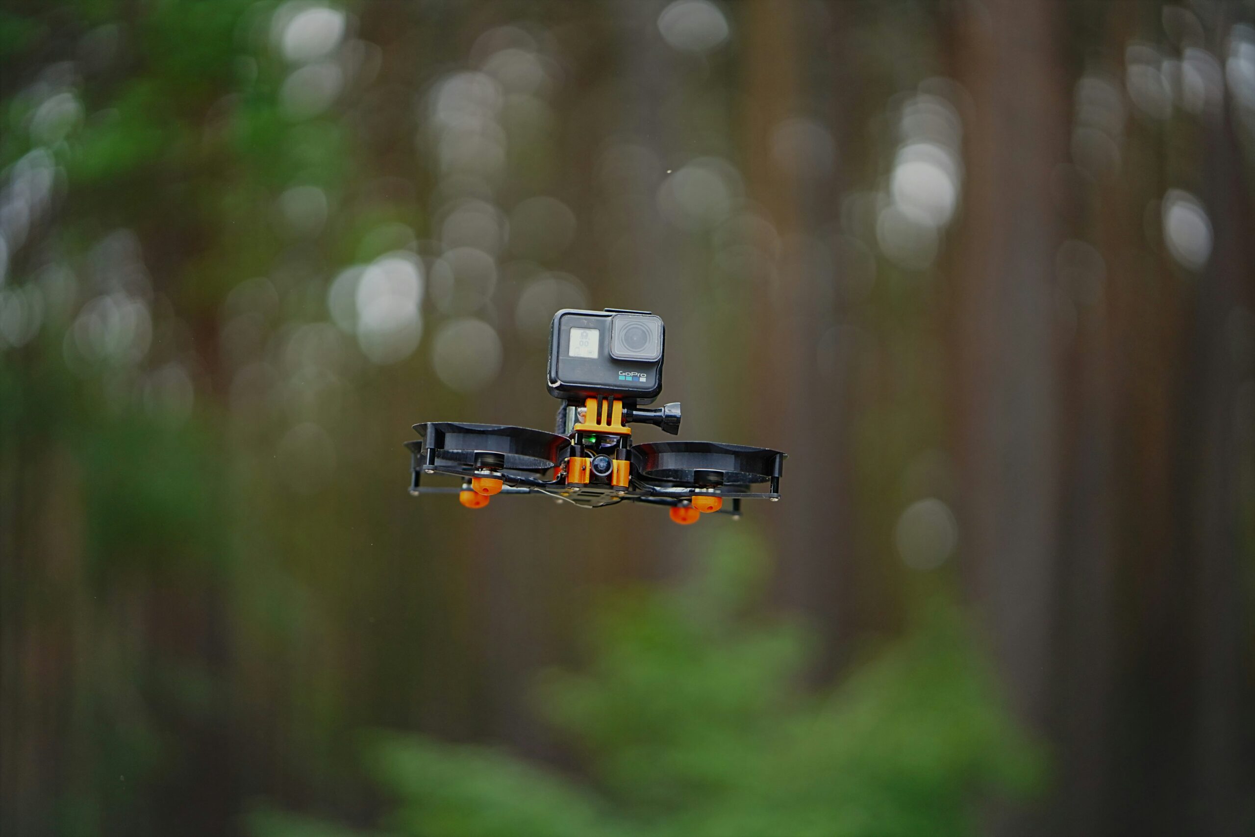
A Stealthy FPV Drone With Zero RF Signal? Yes, It Exists
Modern FPV drones have proven valuable for reconnaissance and precision attack roles, but their dependence on radio links has become an increasingly serious limitation....
An AI-Powered Shield Designed for the Drone-Swarm Era
The rapid spread of small, inexpensive drones has created a growing challenge for security forces and militaries alike. What were once isolated aerial threats...
An Air Defense Deal Marks Another Step in Israel’s Defense Exports
As aerial threats become more diverse and harder to detect, many countries are reassessing how well their air defenses can cope with modern risks....
A New Mine-Clearing System That Turns Dangerous Ground Into Passable Terrain
Minefields remain one of the most time-consuming and dangerous obstacles for ground forces. Traditional breaching tools—mechanical rollers, plows, and manual clearing—can take hours, require...
A Drone Just Proved It Can Outshoot a Jet
One of the biggest challenges in modern air combat is detecting, tracking, and engaging fast-moving aerial targets at long distances. Traditionally, only crewed fighter...
How AI Could Make Urban Driving Safer
Cities generate enormous amounts of traffic video every day, yet only a fraction of it is ever reviewed. For transportation agencies, the challenge isn’t...
Stopping the Domino Effect: Rethinking Cyber Resilience
Modern infrastructure is increasingly dependent on tightly connected digital systems. Power grids, transport networks, hospitals, and communication platforms all rely on data flows that...
T-Dome: A Smarter Shield Integrating Air, Missile, and Drone Defenses
Modern air-defense systems face a common problem: sensors, interceptors, and command centers often operate in parallel rather than as a synchronized whole. This slows...
Self-Charging Humanoids Step in for Border Duty
Border checkpoints are under increasing pressure to manage rising traveller volumes, evolving security demands, and labor-intensive inspection routines. Many of these sites operate around...
Tiny Radar Chip Could Power the 6G Future
Millimeter-wave radar is expected to become a core element of next-generation communications. As 6G systems evolve toward combining connectivity and sensing in a single...
AI Night Vision Aims to Close Security Blind Spots
Securing large installations at night remains one of the most persistent challenges for defense and critical-infrastructure operators. Traditional low-light cameras often struggle with grainy...
Europe Strengthens Its Sky Shield with a Not-So-New Interceptor System
European air defenses have faced growing scrutiny in recent years, particularly as long-range ballistic missile threats become more prominent. Traditional systems in the region—largely...
Aerial Cat-and-Mouse: Interceptors Race Against High-Speed Drones
Ukraine has faced a growing challenge as Russia introduces faster, more resilient loitering munitions designed to overwhelm conventional air defenses. The latest threat, the...
Turning Light into Defense: Laser Shield Nears Deployment
Modern air-defense systems face a growing challenge: the number of incoming threats is rising, and so is the cost of intercepting them. Rockets, drones,...
$12M Investment Powers Next-Gen Hypersonic Testing for Defense and Space
The next generation of aircraft and space systems requires the ability to conduct tests at extremely high speeds — yet today, the industry is...
A Brighter Future: Lighting That Doubles as a Secure Data Link
As indoor lighting shifts almost entirely to LEDs over the next decade, researchers are examining whether these lamps can play a much larger role...


