




Challenge – Unmanned Landing on Aircraft Carrier
Unmanned aerial vehicles (UAVs) participate in various operations involving landing aboard aircraft carriers and launching from carriers. However, the conditions at sea do not...

Navigation Solution to Solve Critical Coastline Monitoring Challenge
Unmanned aircraft system (UAS) operators in the US are required to keep their aircraft within visual line of sight. Operators, both government and commercial,...

Jam-Resistant GPS Technology Deployment Delayed
GPS may seem like everyday technology, but it depends on military systems that continue to evolve to meet defense needs. The US Department of...

Quantum Technologies to Support GPS-Denied Navigation
Navigation in GPS-denied environments is a challenge in both the military and civilian realms. A possible solution could be found in quantum technology. Quantum...

New Arrival on French Navy Helicopter Carrier’s Deck
New unmanned aerial vehicles will significantly enhance the French Navy’s Intelligence, Surveillance, and Reconnaissance capabilities. The French Navy has accepted for operational use two...
Solution Against GPS Jamming Required
US and allied GPS signals are under an increasing threat of enemy electronic warfare jamming attempts. A new US Air Force initiative addresses this...

Choose Your Own Content Zone – INNOTECH International Broadcasted Conference
How did COVID-19 transform the world of cyber and HLS? What are the challenges faced by cities and states, and how will the latest...
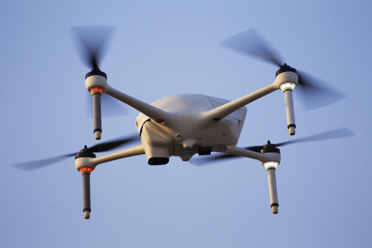
GNSS-Free Navigation Solution Guarantees Safe Drone Operations
Drone delivery technologies are already here, and soon they will become an integral part of urban life in the smart city environment. Drone flights...

Panel Discussion Topics – INNOTECH International Live Conference Broadcast for HLS,...
The InnoTech 2020 International Live Conference Broadcast organized by iHLS is a unique opportunity to take a close look at the transformation caused by...

InnoTech 2020: How COVID-19 Changed Cyber & HLS World: Special Broadcast...
The COVID-19 pandemic has intensified the multiple challenges states and cities are currently facing. Technology has become more and more important in our daily...

InnoTech 2020: How COVID-19 Changed Cyber & HLS World: Special Broadcast...
The COVID-19 pandemic has intensified the multiple challenges states and cities are currently facing. Technology has become more and more important in our daily...

Tactical Navigation System for GPS-Denied Situational Awareness
Situational awareness regarding the environment is an imperative factor in winning the battle. A military vehicle navigation system designed for harsh environments and battlefield...

Watch Obstacle Avoidance in Action
A new obstacle avoidance technology will bring crop spraying and seeding operations to the next level, while reducing the effort on the part of...
The News Broadcast You Can’t Afford to Miss: All Senior Leaders...
Save the time in your schedule on Monday, September 7th and get ready for Israel’s largest broadcast on unmanned systems. Straight from the TV...

Soon: Jamming-Resistant GPS Signal
The U.S. Space Force has completed upgrades to the Global Position System’s ground segment that will allow it to partially use a new military...

You Can’t Afford to Miss this Broadcast – AUS&R 2020
Save the time in your schedule on Monday, September 7th and get ready for Israel’s largest broadcast on unmanned systems. Straight from the TV...

Long-Awaited Solution for First Responders
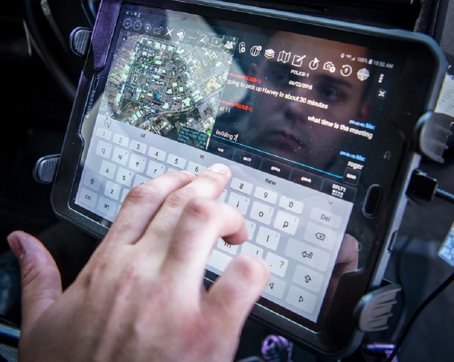
First responders often work indoors, underground, and in other areas where communications are not reliable, so constant situational awareness is difficult to maintain. A...

AUS&R & AUVSI 2020 International Broadcast
September 7, 2020
The unmanned systems market has become one of the most trendy and interest-provoking fields in the Israeli and global arenas. Even the...

9th Unmanned Systems Conference AUS&R and AUVSI, this Time as Broadcast
September 7, 2020
The unmanned systems market has become one of the most trendy and interest-provoking fields in the Israeli and global arenas. Even the...

Australian Technology to Enable Underground Navigation
Drones usually rely on GPS for localization, navigation and flight control. A new technology uses LiDAR data and advanced algorithms on-board in real-time to...

Quantum to Enhance Precision Navigation
Precision navigation in GPS-denied environments has been highlighted by the US Institute for Defense Analyses IDA as a key application for quantum technology, with...

Major Step Towards China’s Independence in Global Navigation Field
The Chinese Beidou navigation network will be complete this month when its final satellite goes into orbit, a move that will complete a global...
Latest

This Rugged Broadband Box Brings 5G and Satellite Internet Anywhere
Establishing reliable internet access can be difficult when teams operate far from existing communications infrastructure. Temporary military facilities, remote logistics hubs and emergency deployments...