
This post is also available in:
 עברית (Hebrew)
Neuromorphic Lab is a graduate of the INNOFENSE Innovation Center operated by iHLS in collaboration with IMoD. This unique acceleration program removes entrance barriers to the technological ecosystem, turning startups into mature, leading companies while connecting them with relevant investors, which is designed to strengthen the links between the civilian and defense markets via the collaborative development of the technologies, thus advancing and improving their integration in both markets.
Drones and autonomous systems often rely on GPS to determine their location and navigate their surroundings. However, in environments such as enclosed buildings, tunnels, and underground parking facilities, satellite signals are often unavailable or unreliable. On the battlefield, GPS jamming and spoofing pose an additional threat, potentially preventing drones from completing their missions. While GPS-independent navigation systems already exist, many are expensive, heavy, and require substantial computing power and energy, limiting their integration into smaller drones.
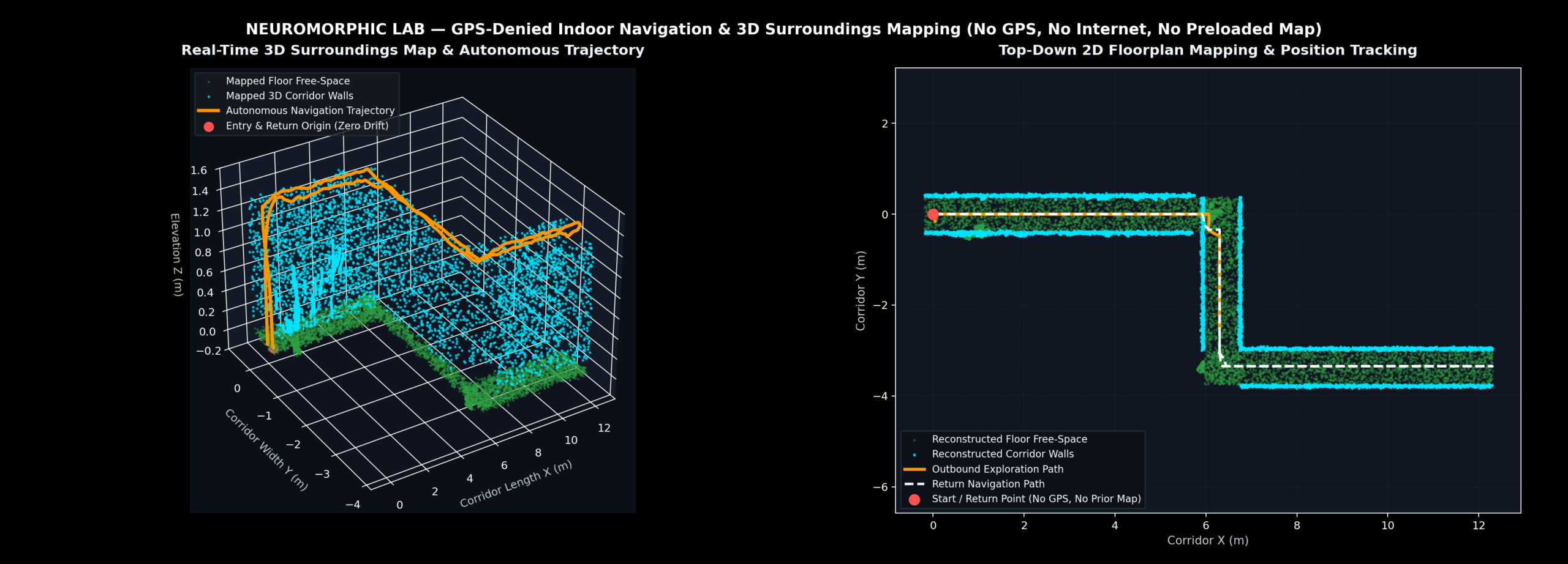
This is where Neuromorphic Lab comes in. The company is developing an autonomous navigation and mapping system that requires no GPS, internet connection, or preloaded maps. The technology allows a drone to enter an unfamiliar environment, map its surroundings as it moves, and continuously determine its position relative to the map it creates. This enables autonomous navigation even in environments where satellite-based positioning systems cannot operate.
At the core of the technology are neuromorphic algorithms, inspired by the operating principles of the human nervous system. Unlike traditional data-processing methods, in which computers continuously process large volumes of information, the neuromorphic approach focuses on meaningful changes and events in incoming data. Similar to how neurons in the brain communicate through electrical signals, these algorithms use events known as “spikes” to process information quickly and efficiently.
In practical terms, the system does not need to repeatedly analyze every detail of an image at every moment. Instead, it can focus on what has changed. This reduces computational demands, power consumption, and the need for heavy hardware. Another advantage is its use of commercially available vision and motion sensors, alongside a compact onboard computer, eliminating dependence on external servers or expensive specialized hardware.
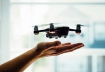
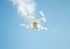
The technology can be integrated into existing drones as well as platforms developed by the company, including a 3D-printed prototype drone. The company is also developing three versions of its navigation module: a small version for compact drones and short-duration missions, a medium-sized version for drones and robots for longer missions, and a larger version designed for vehicles and larger unmanned systems.
Defense applications include indoor navigation, tunnel reconnaissance, underground and over-ground operations that require precise navigation, and missions in GPS-denied or GPS-jammed environments. The same technology also has civilian applications, including search and rescue operations in collapsed buildings, mine inspections, and industrial facility monitoring. As a dual-use technology, it aims to expand the autonomous capabilities of robotic systems operating in complex environments.
According to the company, its system delivers improvements of more than tenfold in cost, processing speed, power consumption, and weight compared with existing solutions offering similar levels of accuracy. During flight tests, the company compared the system’s independently calculated navigation data against a GPS-recorded flight path. The GPS receiver was used solely as a reference and did not provide input to the navigation system. The results showed a close match between the two trajectories, including changes in flight direction and altitude.
The technology is currently at the prototype and proof-of-concept stage, corresponding to Technology Readiness Level 5 (TRL 5). Following successful flight tests, the company is working to advance pilot projects with operational end users, aiming to evaluate the system under real-world conditions and on platforms designed for actual missions.
The company was founded by Eitan Efron, Co-Founder and CEO, and Eli Shapira, Co-Founder and CTO. The two entered the field after recognizing the growing need to reduce the energy consumption and computational requirements of AI systems. They collaborate with academic researchers to advance neuromorphic technologies toward practical applications. Their vision is to develop an efficient, cost-effective navigation and mapping layer that enables drones and autonomous systems to continue operating even where GPS is no longer available.