This post is also available in:
 עברית (Hebrew)
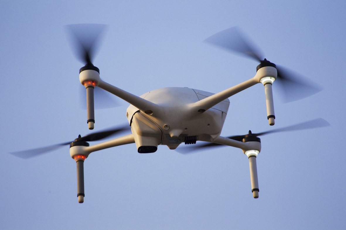
Drone delivery technologies are already here, and soon they will become an integral part of urban life in the smart city environment. Drone flights enable the rapid resupply of a wide range of products, from critical medical supplies and vital products in the aftermath of a disaster to day-to-day products and services.
However, these autonomous drone flights beyond visual line of sight (BVLOS) depend on GNSS signals. Any disruption of the signals might lead to the malfunction of the drone’s autonomous operation and endanger public safety. This is the reason why drone flights over populated areas are still restricted in most cities around the world.
A groundbreaking technological solution enables drone flights over densely populated urban areas. The Israeli company Asio Technologies has recently exposed NavGuard – a secure navigation solution that provides seamless, accurate autonomous GNSS-free navigation. Most importantly, the solution enables drone flight authorization by regulatory agencies without concern regarding GNSS jamming.
Founded in 2003, Asio Technologies has served the defense and paramilitary markets with its specialization in geo-spatial position acquisition systems encompassing navigation, positioning, mission planning, mission management and advanced orientation capabilities. The company has registered several innovative patents in the fields of positioning and north finding.
Asio’s innovative solutions are based on proven operational experience – the company has a track record in the manufacturing and supply of dozens of field-proven solutions. Its ground-breaking systems have been marketed locally and globally under the company’s agile R&D and manufacturing processes and short Go-To-Field strategy.
Based on Asio’s vast experience, NavGuard is a mature and secure solution enabling drone manufacturers and UAV’s system integrators to secure authorization for commercial urban drone flights, which otherwise would have been very difficult to secure due to the problems of GNSS jamming. This compact self-contained hybrid optical navigation solution can be integrated into commercial drones of all sizes as a stand-alone system or as an OEM core.
The all-weather device weighs as little as 90 gr and has a very low power consumption. In fact, it is currently the smallest device with the lowest energy consumption available in this field, therefore much more adequate than any other heavy and expensive solution, such as inertial navigation systems (INS).
The NavGuard system is based on real-time Geo-Referencing of video images to an on-board map. Live imagery frames taken from an on-board camera are being digitally compared to an aerial map and referenced to define a correlation between the two – thus associating the map’s grid to the image.
The navigation solution has very low latency which is critical due to the dynamic nature of the UAV platform. Moreover, a NavGuard service can be operated to generate global coordinates to every pixel on the live imagery – enabling to determine global position of selected elements in the live video.
NavGuard is designed for a wide variety of applications, including drone delivery operations, infrastructure security and even commercial aviation. It is also the optimal solution for military and civilian uses, where payload capacity and flight time are limited and continuous operation under all conditions is critical.
NavGuard is housed in a completely self-contained system incorporating both a computing module, GIS Infrastructure, and cameras in a single, small size, lightweight and low power system. This architecture makes the system completely resistant to external interference.
David Harel, Asio Technologies CEO, envisions the NavGuard as a hybrid solution that “strives to be the alternative to standard GNSS-based drone navigation, enabling drones to fly in a much more secure, reliable, and autonomous way compared to a regular, GNSS-based flight”.
Safety is the only way to ensure commercial liability to operate drone platforms in populated areas. The robust navigation solution provided by Asio is a cornerstone to guarantee unmanned aerial vehicle safety.


