This post is also available in:
 עברית (Hebrew)
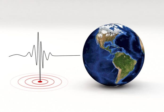
Technology designed to detect earthquakes is now showing unexpected potential in airspace monitoring. Researchers at the University of Alaska Fairbanks have demonstrated that seismic sensors, which are typically used to record ground movement, can identify aircraft flying overhead based solely on the vibrations they produce in the ground.
The discovery stems from the fact that aircraft generate low-level pressure waves, or sound waves, that travel through the air and into the ground. When these acoustic waves reach seismic instruments, they register as faint vibrations. By analyzing this data, researchers can isolate the unique frequency “fingerprint” of each aircraft type, from small propeller planes to large jets.
According to TechXplore, traditional radar and acoustic detection systems can be limited by weather, distance, or line of sight. Seismic sensors, by contrast, provide a passive, ground-based method that could supplement conventional tracking tools. The technique uses seismic spectrograms to map changes in frequency over time. When an aircraft approaches, the frequency rises; as it moves away, it drops — a pattern known as the Doppler effect. By filtering out this shift, analysts can determine the aircraft’s true frequency signature and match it to a catalogue of known types.
In the study, over 300 seismometers deployed across Alaska recorded more than 1,200 aircraft events in just over a month. Researchers compared the seismic data with public flight-tracking information to verify each aircraft’s identity, building a preliminary database of frequency “combs”. Meaning, base frequencies and harmonics that are consistent across multiple flights of the same model.
While the research was initially scientific, its potential defense uses are clear. A seismic-based identification system could serve as a low-cost, distributed network for tracking aircraft in regions where radar coverage is sparse or electronic systems are vulnerable. Such passive detection could also help monitor low-flying or stealth aircraft that produce minimal radar signatures. In a wartime scenario, the same capability could provide an additional layer of early warning, helping identify and classify hostile aircraft without revealing friendly sensor positions or relying on active radar emissions. This makes it particularly valuable in contested or electronically jammed environments where traditional tracking systems may be compromised.
Further work is now focused on improving range detection and integrating multiple sensors to determine direction and altitude. In time, a global seismic monitoring network could do more than track earthquakes, it could help track what’s flying above.
The research was published here.


