




An iHLS Startup: Securing Your GPS
A rising number of vital systems in our lives rely on GPS technology – whether it’s police units, airports or even private car navigation...

Laser Guided UAV Landing
UAV landing sometimes entails the risk of an accident due to wrong estimates by the operator. Now, safe takeoff and landing even in the...

Rescuing Military Personnel Made Easier
Search and rescue missions sometimes get complicated because the survivors can not be located. A new combat survival radio that automatically activates and securely...

Security Accelerator’s Innovative Developments Showcased at Missile Defense Conference
Side by side with the impressive weapon systems presented at the exhibition of the IAMD Missile Defense Conference, the hundreds of visitors had the...

Leveraging Social Media During Emergency
During emergency situations like severe weather or terrorist attacks, local officials and first responders have an urgent need for accessible, reliable and real-time data....

Small Satellites – Dealing Effectively With Missile Threat
Years before North Korea fired its first intercontinental ballistic missile, the Pentagon and intelligence experts had sounded a warning: The North was making progress...

US Special Forces Upgrade Mission Readiness
The US special forces are always looking for new ways to develop their situational awareness. Recently, it was announced that the special forces installed...

How to Keep Drones Away from No-Fly Zones?
Drones proliferation poses a grave threat to vital infrastructure and government facilities. With a great many no-go zones that aren't clearly delineated, drones or...

Large Security Firm will Examine SATCOM Resilience
Kratos Defense & Security Solutions, a leading National Security Solutions provider, has recently announced that the U.S. Government awarded its subsidiary RT Logic an...
The Future of Gaming, Used in Real Life
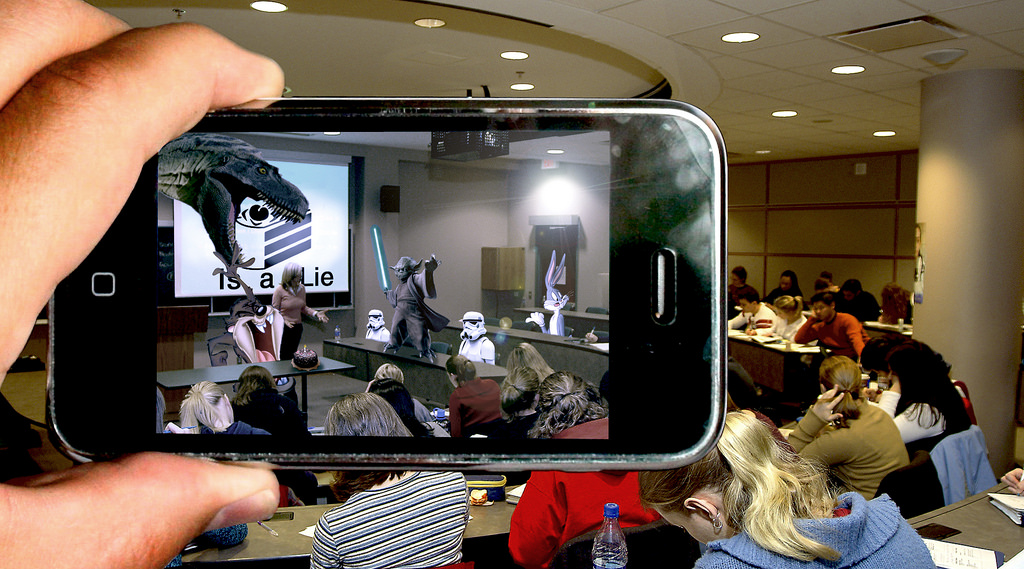
A visual computing solution firm headquartered in New Delhi provides augmented reality solutions to defense personnel for training before they can be deployed on...

Guided Munition – to Enhance US Navy Littoratl Operations
The US navy has been enhancing its gun range. A guided munition manufactured by BAE Systems and Italy’s Leonardo will triple the range of...
Next Generation GPS – Already Under Development
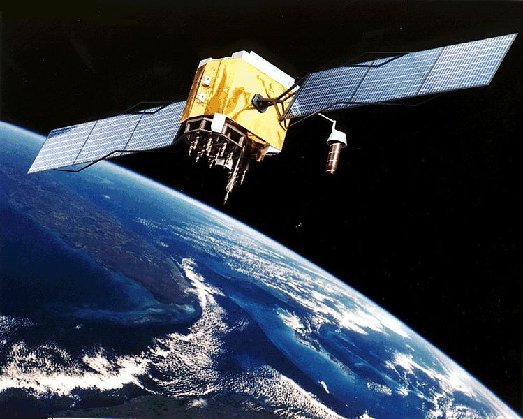
Northrop Grumman Corporation has been awarded a contract from the U.S. Air Force for technology maturation and risk reduction in support of next-generation navigation...

New Player at The Urban Warfare Sphere
The US Defense Advanced Research Projects Agency (DARPA) has been testing drones to operate without human or GPS assistance. The first phase of DARPA’s...

Wearable Laser Scanner Can Map Tunnels
A real-time 3D mobile surveying and mapping system is offered as a solution for various professional indoor/outdoor scanning missions.
The technology was developed by...

Would Geo-Fencing Tech Stop Terrorist Vehicle Attacks?
Geo-fencing technologies that use the global positioning system (GPS) or radio frequency identification (RFID) to define geographical boundaries have various applications. Now they are...

Advanced Sensing and Autonomy – to the Underwater Sphere
Over the past few years, Autonomous Underwater Vehicles (AUVs) have turned into a viable solution and an established part of operations in military, commercial...
Lockheed Martin Upgrades Key Targeting System
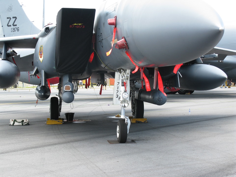
The Sniper Advanced Targeting Pod (ATP) that, combined with a navigational pod, makes up the latest version of the low-altitude navigation and targeting infrared...

What Is the US Air Force Trying to Achieve?
The secretive US Air Force Boeing X-37B orbital unmanned spacecraft has recently landed at the Kennedy Space Center Shuttle Landing Facility following an extended...

Big Data Technology to Map Urban Crime
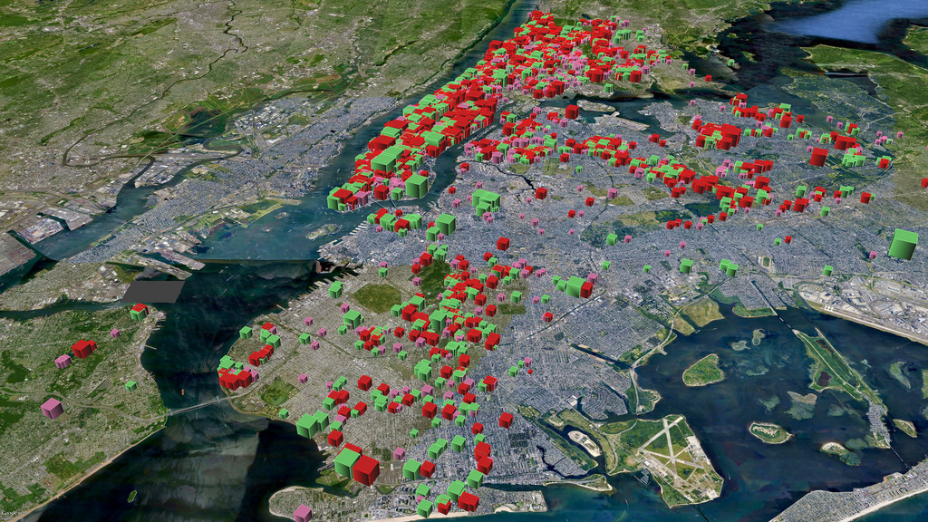
Recently, Rio de Janeiro's authorities teamed with crime experts and concerned business leaders to launch a major big data based crime monitoring tool, ISPGeo,...
New UAS Combines VTOL Capability with Advanced Mapping Sensors
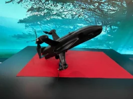
A new unique unmanned aerial system was recently revealed. The Tilt Rotor, Vertical Take-Off and Landing (VTOL), hydrogen fuel cell powered advanced terrain mapping...
New Satellite Communication System for Dismounted Units
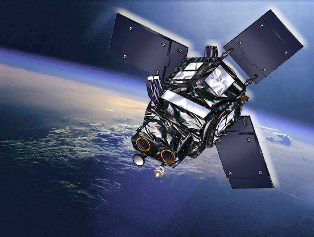
A new lightweight, multi-frequency, mobile satellite communication terminal was unveiled, designed for dismounted units who are unable to maintain line-of-sight connectivity.
Built from composite...

Information Gathering Tech to be Used Before Maritime Operations
A new information gathering technology will be used for the first time with US Navy unmanned vehicle systems to improve how information is gathered...
Latest

What If Your Cloud Provider Couldn’t Read Your Files?
Collaborative documents have become a standard way for teams to work together, but they present a security problem that encrypted messaging largely solved years...