


Flight Data Accessibility Moves Forward
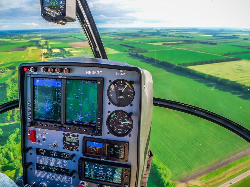
Upgrades and innovation in flight display systems technology have been contributing to the enhancement of pilot situational awareness during flight.
Garmin International recently announced a...

New Video Analytics Solution for Man Overboard Incidents
Man Overboard incidents continue to be a safety concern for cruise lines and passengers, as well as for other marine incidents, including in the...

First of its Kind – Raytheon’s Radar Warning Receiver
Raytheon demonstrated, in a recent flight test, a geolocation capability for the ALR-69A(V), a first for any radar warning receiver.
According to the company’s website,...

Flying Drones Beyond Line of Sight?
A new network will allow pilots of drones to fly farther distances, even outside their line of sight, which is currently against FAA rules....

Unique App Will Alert on Terrorist Attacks
A new terror alert smartphone app will be released worldwide later this month, providing users one place where they can obtain relevant real-time information...
In Search for Submarine Display and Information Systems
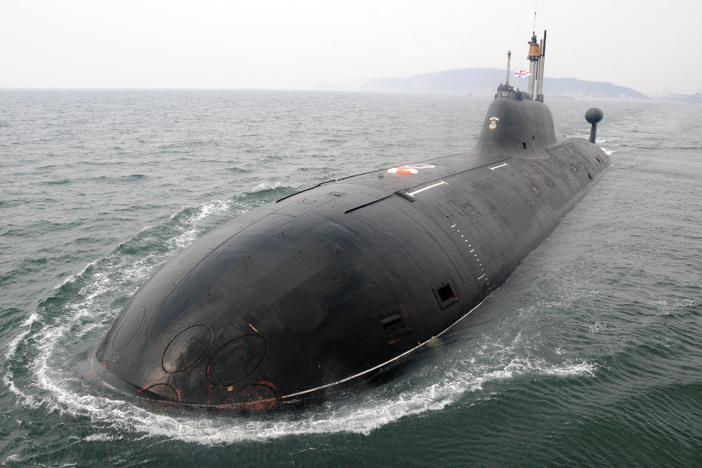
The Indian Navy has been looking to equip its submarine fleet with new technologies to assist in navigation. The Navy has issued a Request for...

Enhanced Authentication will Make Satellite More Resistant to Hackers
Researchers designed authentication features that will make it more difficult to send out false signals from the European Galileo satellite
The European Union activated its...

Mapping Drone Granted BVLOS Authorization
One of the factors restricting many drone flights is the visual line of sight requirement. For the first time, Switzerland has granted anytime Beyond...

Airdrops – A Tricky Mission
By Arie Egozi
It may look a simple mission but it isn't. Some of the weapons and ammunition that were airdropped by the coalition aircraft...

New Satellite will Enhance Brazil’s Military Communications
A new Geostationary Defense and Strategic Communications Satellite (SGDC) was recently built for Brazil. The dual-use, civil and military, satellite system, manufactured by Thales...

Prevention, Response and Recovery – Safe City Solutions
Technological solutions by themselves are useful, but their real value is found when they complement one another. A wide array of homeland security technologies...

Extreme Endurance Solar-Electric UAV Development in The Works
A solar-electric UAV will support commercial and security requirements. Bye Aerospace announced an important engineering, development and production collaboration with SolAero Technologies Corp. to...

US Army Looking to Step Up Geospatial Abilities
An army contract for geospatial information services has been awarded to Leidos, a global company that offers geospatial solutions to support and gather GIS...
Latest

What If Soldiers Could Charge Their Gear Just by Wearing Their...
Modern soldiers depend on an increasing number of electronic devices, from communications equipment to sensors and navigation systems. Keeping that equipment powered can become...