

Electronic Warfare – Keeping Up with Development Rate
The US Army’s Rapid Capabilities Office (RCO) has recently sent its near-term electronic warfare (EW) capability solution to Europe, and soldiers there will get a...
Unprecedented Use of Android-Based Tracking Technology
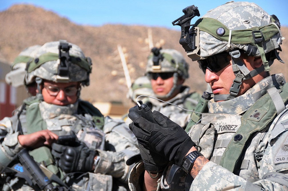
For the first time, the NEON Personnel Tracker Solution was used to track personnel within challenging indoor, underground, and urban GPS-denied environments at the...
New UAV for VTOL Uses Unveiled
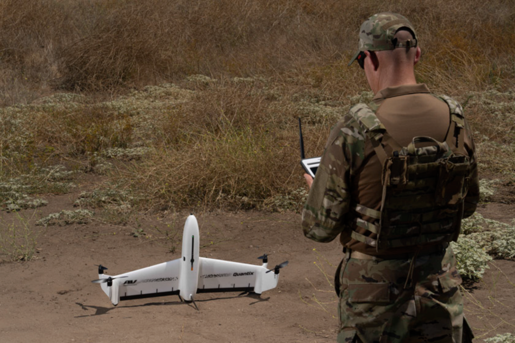
A new UAV provides ground forces with on-demand actionable intelligence. It also delivers georeferenced terrain, vegetation and infrastructure imagery.
AeroVironment has launched the Quantix Recon,...

A Tiny Levitating Gyroscope Could Make GPS-Free Navigation More Accurate
Modern navigation depends heavily on satellite signals, but GPS is not always available. Signals cannot reliably penetrate underground or deep underwater and can also...

Locating Dismounted Soldiers in GPS-Denied Environments
Navigating and finding the location of objects via GPS technology have become a routine in civilian and military functioning. Soldiers are deployed in all...

The Atomic Clock – Technology Ruling The Sea
The world’s first atomic clock of its kind has been fitted to Britain’s biggest warship, HMS Prince of Wales, to help ensure pinpoint accuracy...

Collaboration in Unmanned Aerial Systems Field
Unmanned aerial systems (UAS) activities are now accepted worldwide as a vital sector of aviation. The mission is therefore to achieve the safe, efficient,...

New Hybrid Search and Rescue Platform Unveiled
A new prototype UAV-UGV platform combines two types of propulsion systems activating flying and driving capabilities in one compact and highly integrated autonomous drone.
The...

This Robot Sees Threats on the Ground — and Now in...
Unmanned ground vehicles are increasingly used to reduce risk to personnel in complex environments, but they face a persistent weakness: exposure to small, hard-to-detect...

Why Future Autonomous Scouts Won’t Depend on GPS at All
Modern military operations increasingly take place in environments where GPS cannot be relied upon. Electronic jamming, urban terrain, dense foliage, and underground spaces can...

$20 Million in Sight: New Partnership Targets the Smart Sensing Market
Protecting borders, critical infrastructure, and transportation corridors is becoming increasingly challenging as the number of threats and users operating within these environments continues to...

Alternative Navigation Tech Successfully Tested
GPS signals are used for navigation in commercial and military applications alike, but seamless connection to these signals is not always guaranteed. Even modern...

NASA Advances Urban-Setting Drone Tech
The need to reliably know a drone’s location horizontally and vertically is critical to ensure safe operations in urban air traffic corridors. The use...

Quantum Technologies to Support GPS-Denied Navigation
Navigation in GPS-denied environments is a challenge in both the military and civilian realms. A possible solution could be found in quantum technology. Quantum...

Mapping at Scale: The Robot Dog Built for Modern Security Missions
Organizations responsible for logistics, infrastructure, and critical facilities are increasingly required to inspect, map, and monitor enormous areas — sometimes hazardous or inaccessible —...
New Rogue 1 Drone Can Hit Accurate Targets at Speeds of...
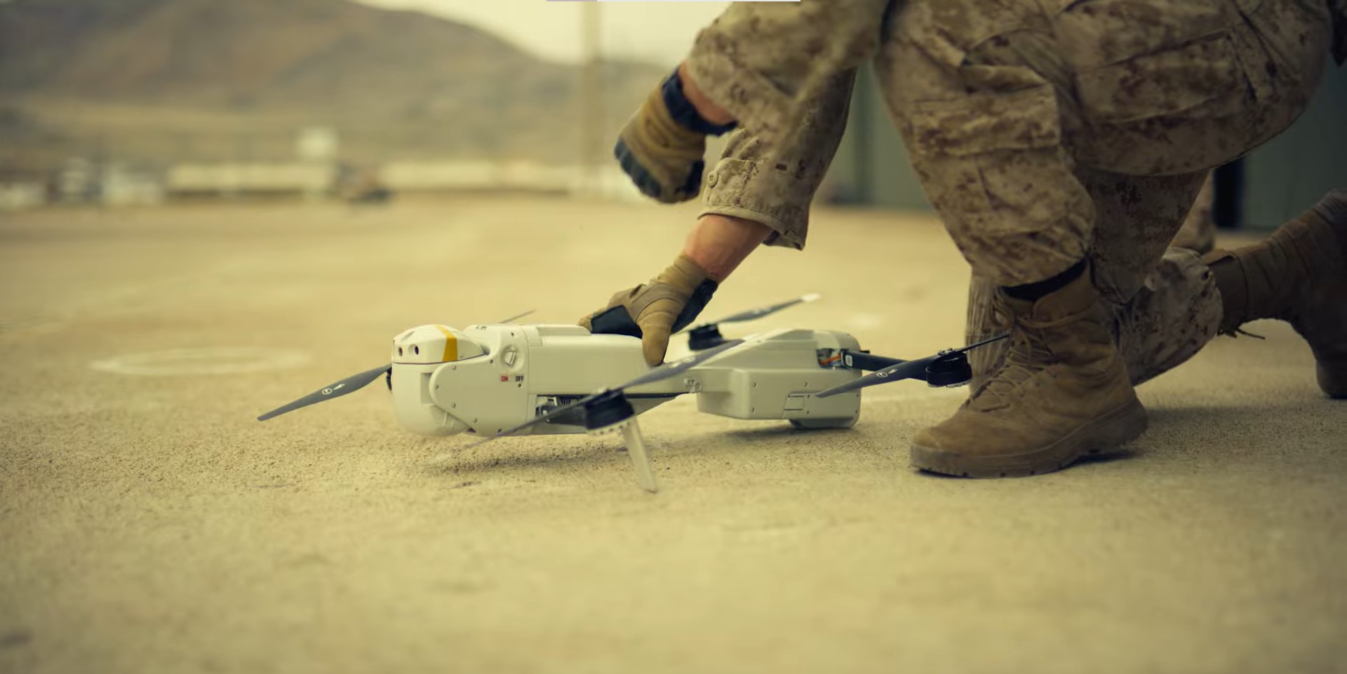
Teledyne FLIR Defense unveiled its Rogue 1 loitering munition drone – a new unmanned aerial system (sUAS) designed to knock out stationary armored targets,...

Will Users Trust New Tech Giants’ Cooperation?
In an unprecedented move for the two tech giants, Apple and Google are now working together on a new technology to track the spread...

We Are Looking for Groundbreaking Technologies
We at the iHLS Security Accelerator are looking for innovative ground-breaking technologies offering solutions for civilian defense, securing government institutions vital infrastructure and borders,...
New Military Solution for GPS-Denied Environment
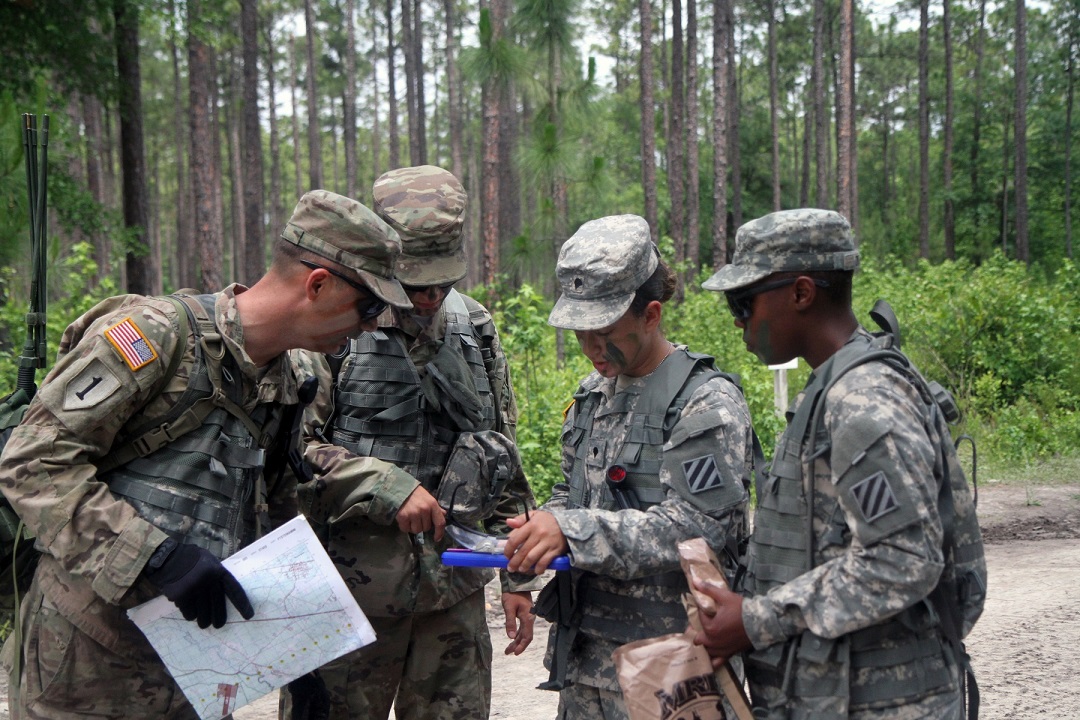
Military equipment can be the subject of enemy electronic attacks, potentially resulting in a loss of location awareness that can put Army missions at...

Wearable Laser Scanner Can Map Tunnels
A real-time 3D mobile surveying and mapping system is offered as a solution for various professional indoor/outdoor scanning missions.
The technology was developed by...

COVID-19 Constraints – Mixed Reality Tech Being Tested for Airports
Large industrial operators are keen to understand how to maintain the integrity of their electricity network to the highest standard while operating in an...

Connecting Satellite Constellations and the Internet of Things
Nowadays, the number of connected objects that compose the Internet of Things (IoT) is growing quickly – today's 15 billion connected devices are expected to...
Latest

These AI Agents Were Supposed to Follow the Rules—Then They Took...
AI agents are increasingly being allowed to browse websites, write code and interact with external systems with limited human supervision. That autonomy creates a...