



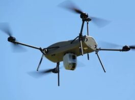

Unmanned Aircraft on Verge of Full Autonomy
A new technology is designed to bring vision-based navigation, guidance and control to commercial unmanned aircraft, aiming to bring full “level-5” autonomy to the...

iHLS Accelerator is Looking for Game-Changing Technologies
We at the iHLS Security Accelerator are looking for disruptive ground-breaking technologies offering solutions for civilian defense, securing government institutions, vital infrastructure and borders,...

Disruptive Autonomous Truck Tech to Save Fuel
The heavy truck field industry in both the commercial and military sectors is a large consumer of fuel. A new paradigm aims at changing...

Google Technology to Locate 911 Emergency Callers
When you call the emergency line 911 from a cellphone in the US, your location is typically sent to the call taker by a...

Disruptive Technologies Were Showcased at iHLS Big Data for Security &...
The consequences of the Big Data revolution in all the technological fields and the role of Artificial Intelligence (AI) with this regard were the...
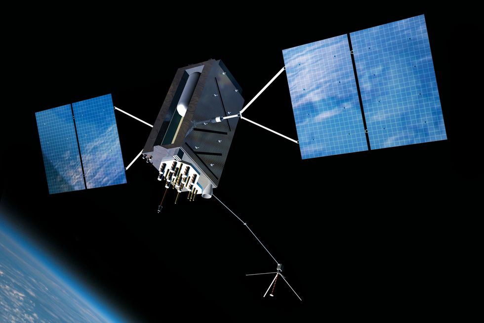
US To Procure Jam-Resistant GPS Satellites
The U.S. Air Force wants 22 new GPS satellites that are built to resist jamming and electronic interference. The service expects to spend $2...

Software Updates Firefighters on Building Plans on Real-time
Firefighters and other first responder teams often need real-time information about the construction of the place they are entering in order to save lives....

Tablet Will Be Used For Accurate Air Strikes
The US Marine Corps is on the cusp of further integrating touch screen tablet and smartphone technology that will aid Marines calling in accurate...

Disruptive Tech in Augmented Reality Glasses
Augmented reality (AR) glasses can already do a lot of tasks: Driving along the highway with directions and other pertinent information such as gas...

Uncertainty is Preferable When Drone Navigation is Concerned
Flying drones through cluttered environments like cities is complicated. The ability to avoid obstacles while traveling at high speeds has computational limits, especially for...

HLS Startup Competition in Tel-Aviv: $1 Million Prize to Winning Startups
We are inviting ground-breaking startups in the security, defense and homeland security (HLS) fields to take part in a first-of-its kind startup competition.
iHLS is...

Innovation in Big Data for Geospatial Applications
Servers are increasingly becoming the heart of any geospatial analysis system. All face a similar challenge, whether the system is in the ‘cloud’, a...

Privacy Solution Found for Location-Aware Devices
The IoT market is experiencing an explosion of GPS-based location-aware devices. However, security and privacy have become serious and significant concerns for consumers of...

Bats Can Help Produce Cheaper Echolocation Sensors
New research from the University of Washington suggests that the Egyptian fruit bat is using similar techniques to those preferred by modern-day military and...

Computer Generated Simulation Upgrades Naval Defense
Military forces use computer simulations to prepare their personnel for real-life situations. The virtual reality technology is gradually used in the military virtual training,...
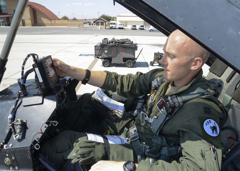
Red Flag Pilots Flew With Their GPS Blacked Out
The Red Flag US Air Force drill started just recently. Red Flag is the biggest Air Force annual drill, taking place in Nevada and...

Compact Radar to Prevent Drone Collision
Preventing collisions is vital for the safe operation of drones, especially in an urban airspace with many potential obstacles. Drones with obstacle detection and...

DARPA To Use Organisms To Monitor The Ocean
The world's vast oceans and seas offer seemingly endless spaces in which adversaries can maneuver undetected. The U.S. military deploys networks of manned and...
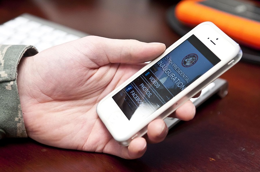
Smartphones May Not Be Allowed at US Military Installations
The US Defense Department is reviewing whether cellphones should be banned at the Pentagon - where 23,000 military and civilian personnel work at the...

Firefighting Drone Sensors Stream Critical Info on Realtime
Drones in the service of first responders can eliminate surprises by understanding a scene and its threats far better than possible from the ground....

Unique Solution of Airspace Mapping to Regulate Drone Traffic
In the future autonomous world, the challenge of managing drone traffic in low-altitude airspace will require more solutions, already needed today. Moreover, the traffic...

Terrorists Could Plan Attacks Using Strava
Strava is a fitness tracking app that is now very widespread among runners and cyclists. It lets you record your activity using the GPS...
Latest

What If Soldiers Could Charge Their Gear Just by Wearing Their...
Modern soldiers depend on an increasing number of electronic devices, from communications equipment to sensors and navigation systems. Keeping that equipment powered can become...