This post is also available in:
 עברית (Hebrew)
In the future autonomous world, the challenge of managing drone traffic in low-altitude airspace will require more solutions, already needed today. Moreover, the traffic of both airborne and ground vehicles will need to be well orchestrated to ensure safety and efficiency.
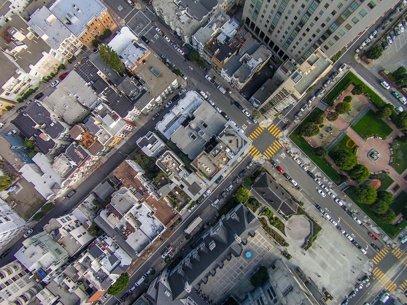
A drone generally needs a map from the ground up to an altitude of about 150 meters; in the future, a flying taxi may need the map to extend higher. Drones need to take into account obstacles, buildings and people’s privacy. As airborne objects, they are also subject to various airspace regulations. For drones to operate safely and predictably, access to rich, accurate and update data sources is paramount.
To help meet these needs, airspace maps for drones are under development. Two companies, HERE Technologies, which specializes in digital mapping and location services, and Unifly, a provider of Unmanned Traffic Management (UTM) software, are teaming up to jointly work on the project.
In the first phase of their collaboration, the companies plan to enable an airspace map for drones that covers both rural and urban areas, and marks out no-fly zones, such as airports, residential areas and sensitive government installations.
The system will be further developed in the second stage to support the management of drone traffic flow and even collision avoidance, much like air traffic controllers do for the airline industry today.
Longer-term, the aim is to explore how drone transportation and logistics can be integrated seamlessly into the broader transportation system.
While the UTM platform connects relevant local and aviation authorities with drone pilots to safely integrate drones into the airspace, the Reality Index is a rich real-time digital representation of the physical world. The map and location data will be integrated to provide a more and more robust picture of the low-altitude airspace.
By aggregating data from many drones, the airspace map could also be enriched with precise information about hyperlocal weather conditions, potential hazards and the best navigable routes.
According to Unify’s announcement, new mapping technologies will be needed especially if one day, drones are to be flown remotely out of the view of their operators. And it will be even more essential as autonomously-flying drones become more prevalent.


