



Unmanned Helicopter Gets New Mission
The US Navy declared its MQ-8C Fire Scout unmanned helicopter mission capable and ready to deploy aboard Littoral Combat Ships. The initial operational capability...

Attend AUS&R 2019 – Leading Unmanned Systems and Robotics Event
During the last three years, there has been a quantum leap in global UAV development and innovation: 80% of the patents published globally on...

Ground-Breaking Israeli Development Wins World Innovation Prize
ESRI is the Microsoft of the geographic information realm. The company supplies the GIS mapping platform - a pivotal tool for building geographical command...

Game-Changer Tech for Underwater Challenges
Underwater surveillance is frequently challenged by the problem of back-scatter caused by light reflecting off particles suspended in the water. An underwater 3D laser...
Drone Control has Never been Easier
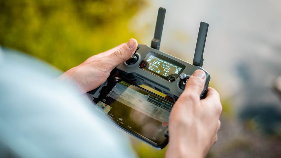
A new smartphone app can connect with off-the-shelf drones and send them to autonomously inspect multiple locations using coordinates received by SMS text message.
The...

Register: AUS&R 2019 Unmanned Systems and Robotics Conference & Exhibition
Attend the seventh Conference and Exhibition on Unmanned Systems and Robotics - AUS&R 2019.
Register!
Representatives from government, leading defense industries, military, security forces and law...
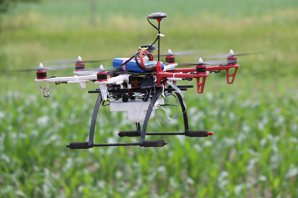
Revolutionary Development in Navigation Technology
Over the last few years, high-end inertial measurement units (IMU’s) have emerged as the main component in inertial navigation systems that are used for...

Drone Incorporation in Airspace
There have already been a handful of verified aircraft collisions with drones around the globe, and several more near-misses, raising awareness of the growing...

Dual-Use Indoor Location Platform
Locating employees quickly in vast workplaces such as hotels is key to preventing or minimizing incidents. Locating 911 callers ensures that they get help...

World First Drone Initiative Taken by Europe
Europe has published common rules for the use of drones which will replace national regulations that may have already been implemented by individual EU...
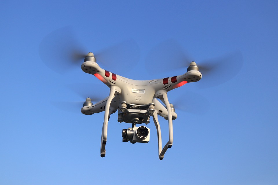
This Guidance System will Save Drones from Danger
Today's drones use onboard computer systems with the assistance of GPS to navigate a and reach their destination. However, most drones are blind to...

When Every Second Counts
Using GPS-based navigation apps has become second nature to many drivers. But what if you’re a first responder and you need to get to...

Exposure to Defense Industries – One-Time Opportunity for Startups!
This happens only once a year!
iHLS’ unique Startup Competition is a one-time opportunity for startups - in one day you can get exposure to...

Startups: One-Time Exposure Opportunity to Defense Industries!
This happens only once a year!
iHLS’ unique Startup Competition is a one-time opportunity for startups - in one day you can get exposure to...

Good News for Drone Operators?
A leading drone manufacturer pledged to boost drone safety by adding to its drones receivers for manned aircraft location signals. The new capability will...
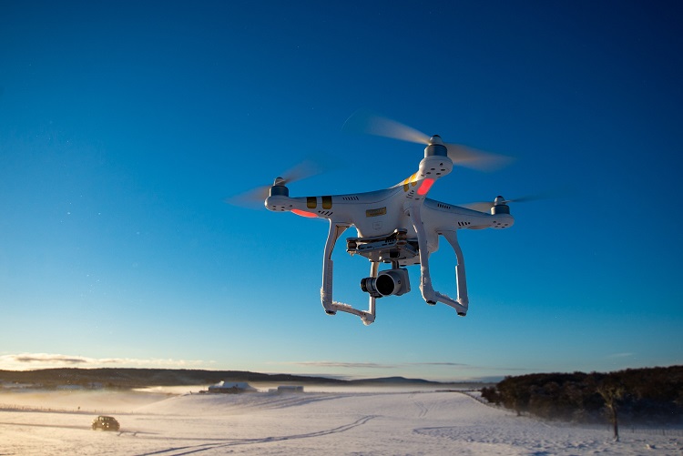
What Are the Consequences of the New Drone Rules?
The number of unmanned drones is expected to double in the next 12 months from roughly 1.2 million aircraft to nearly 2.4 million aircraft,...

Apply to the Security and HLS Startup Competition
We are delighted to invite ground-breaking startups developing disruptive solutions in the security, defense and HLS fields to take part in the prestigious iHLS...

Unexpected Model for Search and Rescue Technology
Purdue University researchers have engineered flying robots that behave like hummingbirds, trained by machine learning algorithms based on various techniques the bird uses naturally...

Solution Against GPS Spoofing Developed
GPS spoofing is a malicious attack that broadcasts incorrect signals to deceive GPS receivers, while GPS manipulation modifies a real GPS signal. GPS satellites...
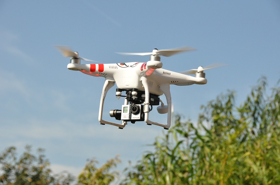
24/7 Drone Solution for First Responders
When a disaster occurs, every minute counts. A new drone solution will provide 24/7 first-response service to disasters in Asia in less than one...

Data Fusion for Enhanced Situational Awareness
The volume of GEOINT data continues to grow, while analysts struggle with the volume, variety, and velocity of space-based data. Many space and airborne...

Internet Giant Joins Forces with Law Enforcement
Law enforcement in the US has been using Google’s location history, designed primarily to send you targeted ads, as a tool to solve crimes...
Latest

What If Soldiers Could Charge Their Gear Just by Wearing Their...
Modern soldiers depend on an increasing number of electronic devices, from communications equipment to sensors and navigation systems. Keeping that equipment powered can become...