This post is also available in:
 עברית (Hebrew)
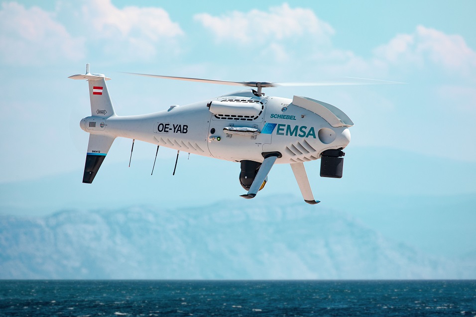
Unmanned aerial systems have many advantages in first response efforts during disasters. During the 2019 Kim Kim river toxic pollution crisis in Malaysia, Schiebel’s CAMCOPTER S-100 UAV was deployed as a first emergency response providing critical situational information.
The UAV provided critical situational information, after more than two tons of illegal chemical waste were dumped in the river, which is located near Johor Malaysia. This resulted in toxic fumes being released throughout the adjoining area, which impacted more than 6,000 people, resulting in many being hospitalized, and several schools being closed.
In collaboration with Malaysian Armed Forces (MAF), the Malaysia Ministry of Energy, Science, Technology, Environment and Climate Change (MESTECC) put a call out for a first emergency disaster response to analyze and scan the polluted river and adjoining area.
The S-100 was selected for the task, and the MAF, with support from Schiebel’s local partner Three Tis Group, deployed the UAV from March to Sept. 2019 to get situational information of the affected area, according to Schiebel’s announcement.
The UAV operated during the day and at night for a total of approximately 30 flight hours. It was equipped with FLIR Systems’ Star SAFIRE 380-HDc, which delivers stabilized multi-spectral imaging and intelligence functions.
The S-100 is a proven capability for military and civilian applications. It is a Vertical Takeoff and Landing (VTOL) UAV that needs no prepared area or supporting launch or recovery equipment. It operates day and night, under adverse weather conditions, with a range out to 200 km, both on land and at sea.
According to the company website, this UAV navigates automatically via pre-programmed GPS waypoints or can be operated directly with a pilot control unit. Missions are planned and controlled via a simple point-and-click graphical user interface. High-definition payload imagery is transmitted to the control station in real time.


