This post is also available in:
 עברית (Hebrew)
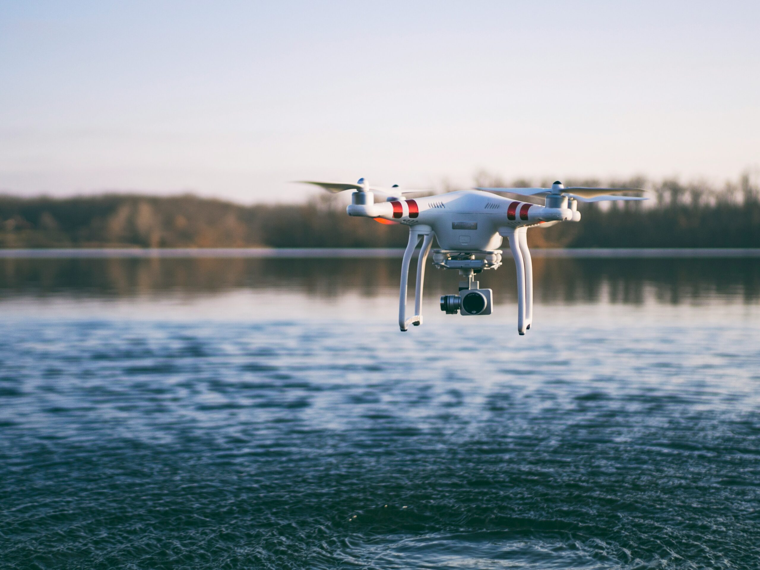
Modern drone operations increasingly face a common challenge: GPS cannot always be trusted. Electronic warfare systems, signal interference, and environmental factors can degrade navigation accuracy and make it harder for operators to locate, track, and share information about targets. As drones become more important across military, security, and commercial missions, software capable of maintaining situational awareness without relying entirely on satellite navigation is attracting growing attention.
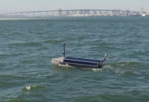
A recent test demonstrated a software platform (Overwatch by SPARC AI) designed to address exactly that problem. During a trial conducted over open water, the system successfully tracked a target at a distance of 43 kilometers while operating with a drone flying at an altitude of 115 meters. The objective was to evaluate how effectively the platform could support long-range target acquisition in GPS-denied environments.
Rather than functioning as a standalone drone application, the platform acts as a software layer that aggregates information from multiple unmanned systems into a common operating picture. According to the Defense Post, it continuously analyzes flight data, identifies navigation errors, and applies real-time corrections to improve positioning and targeting accuracy.
One of the notable aspects of the system is that these corrections are achieved through software rather than additional hardware. This allows different drone platforms to benefit from enhanced navigation and targeting capabilities without requiring major modifications to the aircraft themselves.
The latest testing also coincided with the introduction of image-recognition capabilities integrated directly into the operator control application. This feature helps identify and classify targets from drone imagery, providing operators with additional information to support decision-making and mission planning. By combining target recognition with navigation correction and tracking functions, the platform aims to improve overall situational awareness during operations.
From a defense perspective, GPS-denied operations have become increasingly relevant as electronic warfare capabilities continue to proliferate. Software that can maintain targeting accuracy, coordinate multiple drones, and provide a shared operational picture may become an important force multiplier in contested environments.
Future development is expected to focus on multi-drone coordination. The goal is to allow several unmanned platforms to operate collaboratively while sharing navigation, tracking, and targeting information through a common software framework.
The broader trend reflects the growing shift toward software-defined capabilities in unmanned systems, where operational performance is increasingly enhanced through algorithms, sensor fusion, and artificial intelligence rather than solely through hardware upgrades.