This post is also available in:
 עברית (Hebrew)
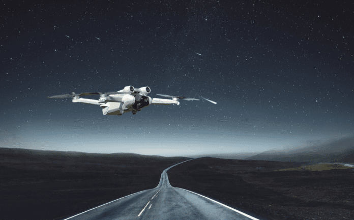
Researchers at the University of South Australia (UniSA) have developed an innovative, vision-based navigation system that uses stars to guide drones in GPS-denied environments, such as areas where GPS signals are unreliable or unavailable. This system offers a cost-effective and reliable alternative for nighttime navigation, showcasing promising results in real-world tests.
The system uses a lightweight, celestial navigation algorithm that processes visual data from stars captured by standard autopilot systems. In testing with a fixed-wing drone, the system was able to determine its position with an impressive accuracy of within 4 kilometers, making it both affordable and effective despite its simplicity.
Unisa’s statement explains that unlike traditional star-based navigation systems, which are often bulky, expensive, and complex, this new approach is designed to be compact and lightweight, making it suitable for smaller drones. The system operates without the need for stabilization hardware, which further reduces its cost and weight.
Celestial navigation is an ancient method for determining position, using the positions of stars to calculate location. While GPS has largely replaced it in modern aviation, it remains a valuable tool in scenarios where GPS is unavailable, such as during GPS jamming in military operations. Earlier celestial navigation systems were large and complex, making them impractical for modern drones. However, recent advancements have led to lighter, strapdown systems that eliminate the need for mechanical stabilization.
The new system uses cameras to track stars and employs algorithms to estimate the drone’s position based on star elevation and attitude data. Despite challenges related to low-cost autopilot inaccuracies, the system demonstrates the potential for accurate, autonomous navigation, especially in environments like oceans or conflict zones where GPS signals are compromised.
UniSA’s innovation provides a promising solution for applications ranging from military operations to environmental monitoring, offering a resilient and independent navigation system for UAVs.


