This post is also available in:
 עברית (Hebrew)
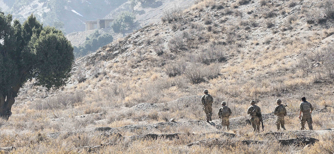
In an effort to improve the training environments for combat soldiers, scientists and engineers have been utilizing virtual and augmented reality in order to help soldiers better understand areas and terrains that they have not yet been to. The technology strengthens soldiers on the ground while saving money.
The One World Terrain project from the University of Southern California provides the military with a set of 3D global terrain capabilities that can replicate an operational environment. The technology uses a wide range of data for this to happen. Images taken by unmanned aircraft of the area are used to produce 3D models for line of sight training and threat analysis.
While increasing soldiers readiness for combat, this innovation also saves the government money. By consolidating several different types of training and simulations into one environment, the technology saves the military valuable time and money.
Several years ago, small military units would have had to rely on professional surveying companies for their environmental data, something that would have cost tens of thousands of dollars. Now, with this new technology, small military units can collect the same data with the help of regular drones system.
One World Terrain has just scratched the surface of terrain technology. Several military branches and offices are adapting towards the innovative technology, including the Office of Naval Research, the Marine Corps, and the Army. 3D terrain capture is central to the Marines’ Tactical Decision Kit, and the Army has also adopted the system for its Synthetic Training Environment.
Defense.gov tells us that the long term goal for the One World Terrain is to enable combat soldiers the ability to have a realistic geospatial terrain during training exercises.


