This post is also available in:
 עברית (Hebrew)
Geo-mapping lets you take raw data and turn it into a geo map. By visualizing location data in this way, you can immediately understand information that could otherwise take hours to comb through and interpret. But while multi-rotor aircraft are the most commonly used drone models for making maps and models, fixed-wing drones present some unique advantages, such as better range and greater stability.
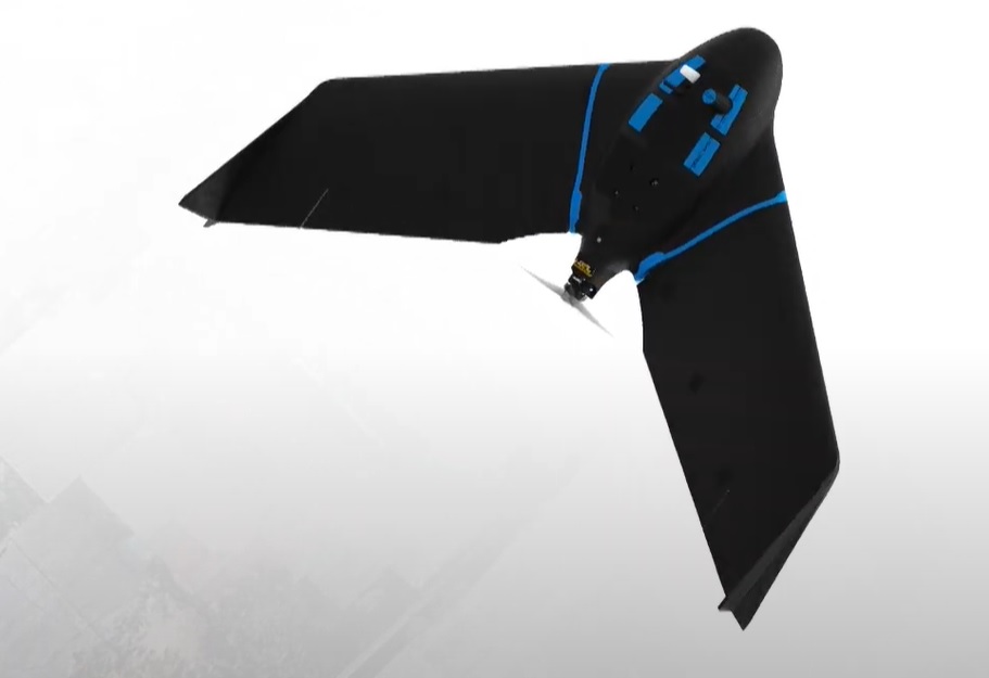
A new fixed-wing mapping drone is designed to boost the quality, efficiency and safety of data collection. eBee Geo drone launched by SenseFly represents a cost-effective option for surveyors and GIS professionals who may be unfamiliar with fixed-wing drone mapping and data collection.
With a maximum 45-minute flight time, eBee Geo offers a solution for smaller surveying firms and project-based drone service providers who are looking to upgrade their mapping capabilities while also meeting budget expectations.
Operators across a range of verticals including construction, urban planning and land management can also benefit from the RGB imaging capabilities of the supplied senseFly S.O.D.A. camera fixed payload while achieving greater efficiency and absolute accuracy down to 2.5 cm thanks to the eBee Geo’s available Real-Time Kinematic (RTK) function.
The drone is designed from the company’s flagship eBee X fixed-wing drone


