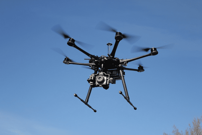
New Technology Allows for Precise Above Ground Level Drone Flight
This post is also available in:  עברית (Hebrew)
For years, the drone industry has been struggling with a certain problem: being able to follow terrain at a certain height above ground level, without compromising effectiveness and precision of data gathering. However, by using an existing UgCS data logger and a laser altimeter, a drone technology firm has been able to solve just that problem.
The new solution, by SPH Engineering, is revolutionary for industries where drone inspection and maintenance are crucial. Industries involving mining, engineering, inspections, agriculture, and more, where flying over objects at a certain height is critical, will benefit greatly from the new terrain mapping and tracking technology.
Previously, solutions towards keeping drones at the right altitude involved using digital elevation model (DEM) data. This solution is simply not accurate enough. Digital elevation model data is often not available for certain areas and is not always accurate enough.
When it comes to terrain mapping in drone operations, having too little terrain data can be as inefficient as having too much terrain data. With today’s technology, LiDAR tracking can synthesise extremely accurate maps of the terrain by providing measurements with a precision level of up to one centimeter. When it comes to the mission planning, having an overly accurate terrain map means that the drone’s flight path will need to include way too many waypoints. Since several batches of waypoints would need to be loaded onto the drone at the same time, a LiDAR-mapped area of terrain would need to be flown over several times in order to achieve the necessary precision.
SPH Engineering has worked to solve both issues of not enough terrain data and too much terrain data. The solution involves gathering and using terrain data while flying. A laser altimeter continuously measures the distance of the drone from the terrain by sending a flash of infrared laser light and measuring the time it takes that flash to reach the terrain and bounce back to the drone. At the same time the UgCS data logger automatically adjusts the height according to the altimeter. This method of flying is called True Terrain Following since it uses current data and not pre-existing data.
True Terrain Following allows for simple drone mission planning and above ground level drone height precision. All the operator needs to do is set height, speed, and activate the True Terrain Mode.
Uasvision.com reports that the function is available for DJI M600 pro drones and can be used with custom drones based on DJI A3 autopilot.


