This post is also available in:
 עברית (Hebrew)
Small autonomous drones have enormous potential for inspecting tunnels, warehouses, industrial facilities, and disaster zones. However, one limitation continues to hold them back: creating detailed 3D maps of their surroundings requires significant computing power and energy, quickly draining the batteries of lightweight platforms.
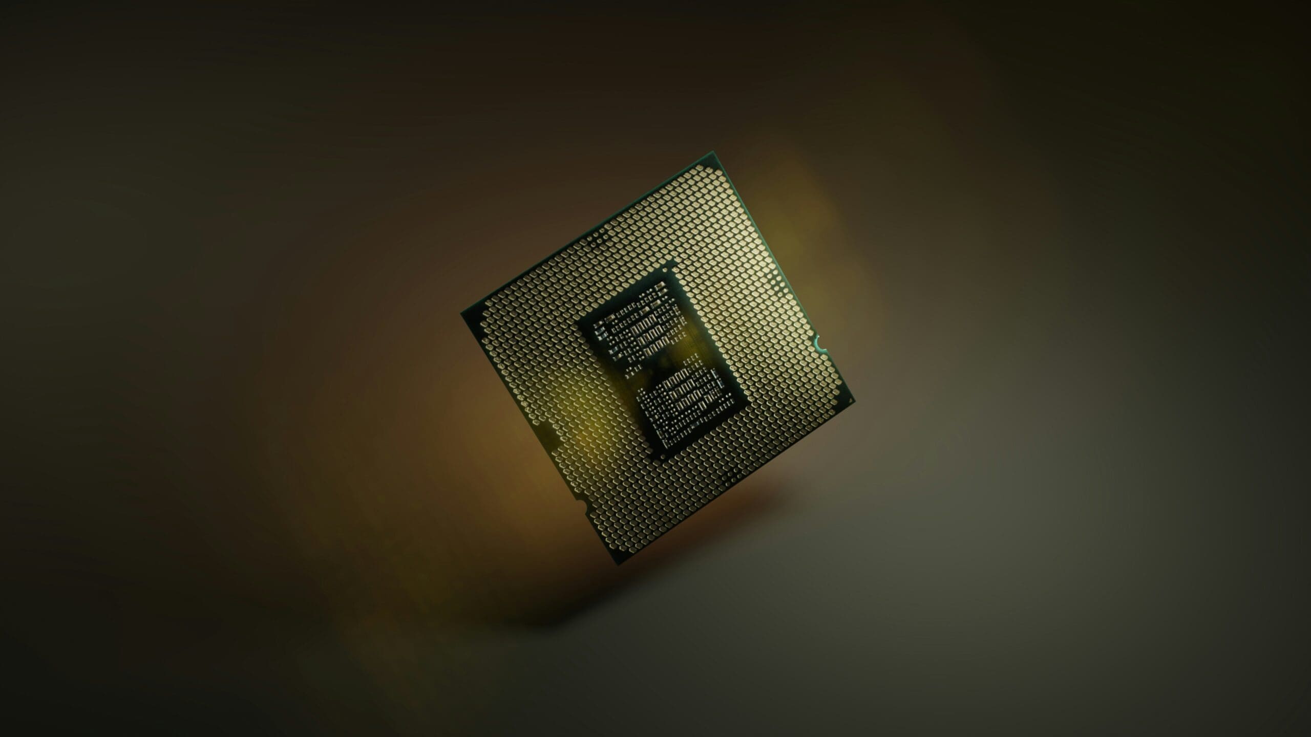
Researchers have now developed a specialized chip designed to overcome that challenge. The new system-on-a-chip enables small drones and robots to generate detailed three-dimensional maps in real time while consuming only about six milliwatts of power, which is far less than existing mapping hardware.
The key innovation lies in how the chip represents the surrounding environment. Conventional mapping systems often divide the world into millions of tiny cubes, known as voxels. While effective, this approach consumes large amounts of memory and processing power.
Instead, the new system uses mathematical shapes called Gaussians, which represent objects as flexible ellipsoids rather than rigid cubes. According to Interesting Engineering, because these shapes can describe curved surfaces and open spaces more efficiently, the system requires significantly less memory while maintaining accurate environmental models.
The hardware is paired with a compact mapping algorithm that processes depth images in a single pass. Rather than storing large quantities of image data for repeated analysis, the algorithm extracts the required information immediately and discards the original images. This substantially reduces memory requirements and lowers power consumption.
Another challenge addressed by the system is duplicate mapping. As drones move, they often observe the same object from multiple angles, creating redundant representations that increase computational load. The researchers developed a method for merging overlapping Gaussian models directly, eliminating unnecessary duplication without revisiting previously captured images.
The compact architecture allows most active data to remain inside the chip’s high-speed internal memory, reducing reliance on energy-intensive external storage.
Testing demonstrated that the chip could construct detailed 3D maps in real time while consuming approximately 6 milliwatts, which represents roughly 2.5 percent of the power required by comparable mapping hardware. The system also enabled collision-free path planning using significantly less energy than conventional approaches.
From a defense and security perspective, highly efficient onboard mapping could improve autonomous reconnaissance in GPS-denied environments such as tunnels, underground facilities, damaged buildings, and urban terrain. Lightweight drones capable of creating detailed maps while preserving battery life could extend mission duration and improve situational awareness in locations where larger platforms cannot operate.
Beyond robotics, the researchers believe the same Gaussian-based approach may eventually support augmented reality devices and other applications requiring low-power three-dimensional mapping.