Meet New Lidar-Based Security Solution
Traditional cameras lack 3D image capture capability and rely on optimal lighting conditions. A new lidar-enabled three-dimensional monitoring system is expected to bridge this...
Smart City Technologies Showcased at This Year’s CES Show
Smart cities are using pioneering technologies like IoT, 5G, AI, and more to optimize operations and efficiently manage resources. Innovation in smart city applications...
Innovative Solution for More Reliable Perimeter Security
Securing temporary and remote sites like construction sites, storage areas, and parking areas requires constant surveillance. Some of them are difficult or cost-prohibitive to...
Laser-Equipped Dog will Save Lives
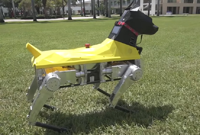
The US Air Force has been experimenting with how laser sensors, on drones and robots, can map damage in facilities and buildings in dangerous...
Major Challenge on Way to Unmanned Air Mobility
The ability of sensors to perceive things through the fog will be essential for future air vehicles such as urban air taxis. Instruments such...
Digital Imaging Giant Unveils Ground-Breaking Sensor
A new image sensor that is said to be able to “see in the dark” has been unveiled by Canon. Major applications will be...
LiDAR Tech Used in EOD Mission
Drone-based light detection and ranging (LiDAR) systems are being used by Explosive Ordnance Disposal (EOD) technicians for 3D mapping.
Six LiDAR systems were delivered to...
Securing Autonomous Vehicles – New Guidelines
Ground vehicles are increasingly part of connected systems that will change and improve transportation in smart cities and elsewhere. Trucking, mass transit, and logistical...
Comprehensive Security Solution Offered for Railway Operators
With rail passenger and freight traffic expected to double by 2050, safety and security expectations for rail organizations are higher than ever, requiring new...
New LiDAR Sensor for Drones Unveiled
A new LiDAR sensor for drones, described as a dual-use technology - enables the conduct of advanced analytics of geographic and manmade features on...
INS Tech Providing Highest Accuracy
Inertial navigation systems (INS) provide surveyors with absolute position, timing and inertial measurements (heading and pitch/roll) that they can integrate into their survey projects....
We Are Looking for You! iHLS Security Accelerator is Recruiting New...
iHLS is inviting startups in this field to join the 8th cycle of its Security Accelerator, the world’s first accelerator in the HLS field....
Call for Startups: Apply to iHLS Security Accelerator – Your Entrance...
iHLS is inviting startups in this field to join the 8th cycle of its Security Accelerator, the world’s first accelerator in the HLS field....
Miniature Drone to Explore Subterranean Environments
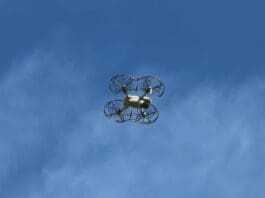
07Miniature autonomous drones will navigate and map unexplored subterranean environments beneath the UK’s rail network. The Prometheus project is designed to provide solutions across...
The Secret of Pegasus – Its Hybrid Capabilities
Changing shape between ground and aircraft modes can be a substantial advantage for unmanned vehicles. The Pegasus drone series is a hybrid air/ground drone...
Successful Technology Combination Improves Perimeter Security
A camera platform fusing two technologies - Lidar and video surveillance - is offering better sensing capabilities for perimeter security and smart city applications.
Lidar,...
Smart City LiDAR Applications Providing Numerous Possibilities
The emergence of smart cities and autonomous cars has raised concerns on area monitoring and security for these cities. Autonomous vehicle manufacturers rely on...
What’s Accelerating Automotive World Revolution?
The signs for the revolution in the automotive communications world are already evident. The technology that allows vehicles to directly communicate with each other,...
New Mapping Solution Unveiled
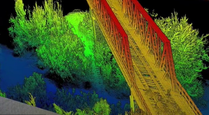
Corridor mapping allows drones to fly in a linear pattern in order to achieve faster and more efficient mapping of roads, railways, and pipelines....
LiDAR Sensor will Help Detect Small UAVs
As drones are increasingly used for tasks such as making deliveries and taking aerial photos, the ability to detect and classify those that are...
LiDAR-Based Technology Effective in Social Distancing
The global response to the COVID-19 pandemic entails social distancing. Retail stores and public spaces can now perform accurate counting of people in compliance...
Australian Technology to Enable Underground Navigation
Drones usually rely on GPS for localization, navigation and flight control. A new technology uses LiDAR data and advanced algorithms on-board in real-time to...


