This post is also available in:
 עברית (Hebrew)
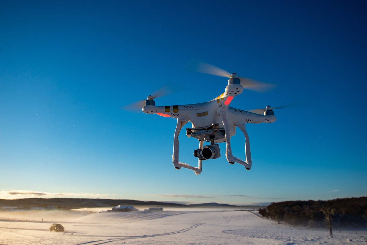
An evolving regulatory push by the US Federal Aviation Administration has revealed a new market: drone air traffic control.
The nature of the commercial utilization of drones means that the majority of them are operating at 400 feet or below. The result is a rapidly growing cloud of near-ground aerial traffic – something that has prompted the Federal Aviation Administration (FAA) to investigate how to safely integrate drone flights within the nation’s airspace system through a pilot project expected to last through September 2019.
According to faa.gov, the “project will be distinct, but complementary to, the traditional FAA’s air traffic management system … [it] is intended to develop and demonstrate a traffic management system to safely integrate drone flights within the nation’s airspace system. Also, the pilot project will create a shared information network and gather data that can be used for future rulemakings.”
One of the companies focusing on this field is Aveopt, which has combined drone technology with geographical information systems (GIS), virtual reality, and augmented reality for use across a range of infrastructure markets, like utilities, transportation, and oil and gas.
Currently, the FAA is looking for a means of mapping and managing the traffic of unmanned aerial vehicles (UAVs). For the most part, those potential solutions have focused on radar, because of its role in air traffic control for airplanes and other aircraft. However, Aveopt’s CEO Art Kahn says there are limitations to radar that would make it especially difficult to leverage for drone technology, given the low flight paths of most UAVs.
The company is currently working on a solution that might solve not only the challenges of vertically monitoring, mapping, and managing drone traffic, but also the pitfalls of doing so horizontally.
Another possible market for for the company’s technology would be for telecommunications. Using its trademarked TerraPosition Pro technology with drones, telecom companies would be able to collect data relevant to a potential cell tower site, augment it with AR and VR, and then use geospatial technology to assess the site, according to tcbusinessnews.com.


