This post is also available in:
 עברית (Hebrew)
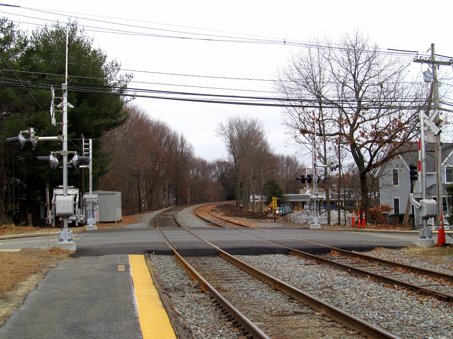
Unmanned aerial vehicles can provide a cost-effective solution to producing data on railway infrastructures. While there are guidelines for constructing new highway-rail grade crossings aimed at preventing vehicles from becoming stuck on the tracks, there is currently no formula or threshold for determining if an existing crossing presents a risk for low ground clearance vehicles, or if it should be posted as such.
Both photogrammetry (making measurements from photographs) and laser LiDAR data captured from drones are capable of producing highly accurate three-dimensional models of high profile grade crossings. However, LiDAR models require equipment that is much more expensive, and processing the data is far more labor-intensive than photogrammetry.
In much the same way drivers are warned of a low bridge by the posted height, the report suggests that drivers of trucks and buses should be warned of humped crossings by having the inches of required ground clearance posted. Photogrammetry offers a cost-effective way to model the crossing, but a software tool to analyze those models to produce this number does not yet exist.
A new study of the US Federal Railroad Administration (FRA) examines the use of drones to produce accurate 3-D models of high-profile grade crossings.
The task of the study conducted by the Volpe Center at the Department of Transportation was to evaluate the feasibility of inspecting grade crossings by using photogrammetry or LiDAR devices mounted on UAVs.
Hopefully, if this can be accomplished with minimal time and expense, crossings with dangerously high humps can be more effectively marked, providing drivers with meaningful warnings that inform them if they are at risk of getting hung up if they cross.
One of the major findings of the study was that photogrammetry with ground control points can produce models with similar accuracy to those produced using LiDAR at a much lower cost.
According to progressiverailroading.com, the report recommends to the FRA to pursue the capability, as well as to work with the Federal Highway Administration to provide better information to drivers of low-clearance vehicles. It is recommended to pursue the development of a software tool that can analyze 3-dimensional models of grade crossings to produce a single number: the inches of ground clearance required for a vehicle with a 30-foot wheelbase (the distance between the centers of the front and rear wheels).to safely traverse a grade crossing.


