This post is also available in:
 עברית (Hebrew)
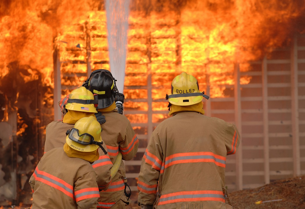
First Responders risk their lives each and every day. A new software will allow first responders to see building layouts and floor plans on devices when responding to emergencies, reducing risk to both the community and first responders.
An Ottawa-based startup, specializing in assistance to first responders, is receiving $615,000 in funding from FedDev Ontario, one of the federal government’s regional development agencies to help it commercialize its technology.
Advance Property eXposure Canada Inc. (APX) will be putting the money towards commercializing its SmartCapture and Smartview software.
“The endorsement of our vision allows APX to accelerate growth in North America, which will help create meaningful jobs in Canada while improving public safety through our innovative, advanced mobile technology solutions,” said Paul Martin, CEO at APX.
As reported on betakit.com, APX SmartCapture will allow first responders to scrape data from existing floor plans, using technology that will reduce collection time of seven to 14 hours per building to 30 to 60 minutes.
The company’s SmartView software collects the data and then distributes it to emergency services personnel within seconds of a call, allowing first responders to receive building information that may result in a more timely response.
“I am pleased to congratulate APX on its cutting-edge technology that allows municipalities to collect data on buildings and deliver critical information effectively and efficiently to first responders in the field,” said Navdeep Bains, minister of innovation, science, and economic development, and the minister responsible for FedDev Ontario. “This project aligns with the Government of Canada’s plan to make our country a leader in innovation and create well-paying jobs from coast to coast to coast, while most importantly keeping first responders and the public safe.”


