This post is also available in:
 עברית (Hebrew)
With the increasingly challenging threat of tunnels and, eventually, potential “megacities”, the U.S. military is trying to develop specialized drones to help soldiers of the future navigate unknown terrain.
The drones under development will map out underground facilities, even under fire, before troops venture inside.
The ultimate goal, therefore, to one day field drones that can invade underground facilities and provide U.S. forces a map of the space.
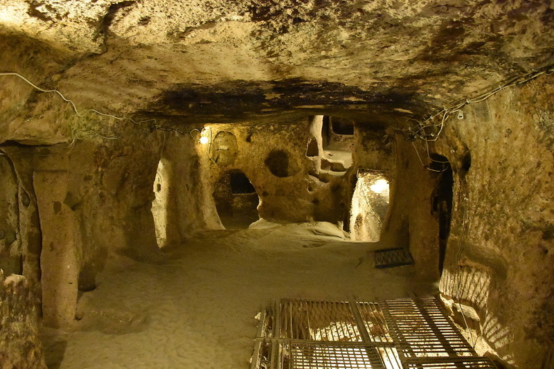
The Defense Advanced Research Projects Agency (DARPA) has issued a Subterranean (SubT) Challenge designed to produce such underground mapping technology. SubT is designed to “explore new approaches to rapidly map, navigate, search, and exploit complex underground environments, including human-made tunnel systems, urban underground, and natural cave networks.”
DARPA’s challenge notes “natural cave networks, human-made tunnels, and urban underground environments.”
The Hamas-made tunnels in Southern Israel, the Viet Cong made tunnels during the Vietnam War and even German underground facilities during World War II are only some examples of such threats.
The Pentagon thinks future warfare will shift toward “megacities” sprawling urban super-complexes of ten million or more people, used by both insurgents and even conventional forces, as reported in popularmechanics.com.
This will ultimately result in an advantage to those who constructed the landscapes described above, as they would be highly familiar with the complex urban maze.
The SubT challenge envisions sending a robot to do a human mapper’s job, under fire if necessary. One competition envisions teams racing to “develop and demonstrate physical systems to compete in live competitions on physical, representative subterranean courses, and focuses on advancing and evaluating novel physical solutions in realistic field environments.“
Underground and complex urban environments pose challenges for unmanned systems.
Ground unmanned vehicle operation is tough enough, with vertical challenges and broken terrain, but the subterranean realm adds an entirely new layer – particularly the difficulty in transmitting data underground. Dense rock formations or reinforced concrete could make it difficult to transmit data wirelessly.


