This post is also available in:
 עברית (Hebrew)
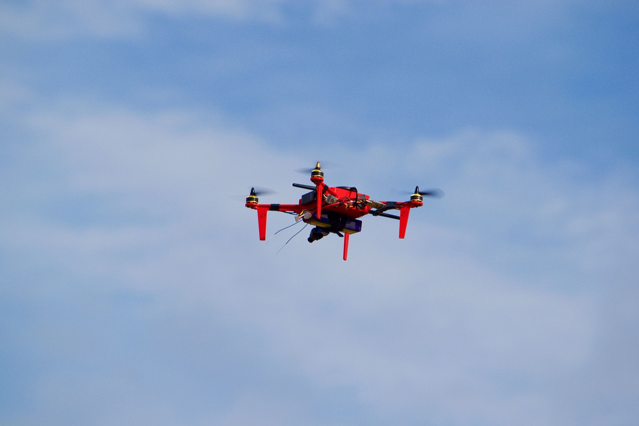
The Applied Aviation Research Center of the Kansas State University is working with law enforcement partners to evaluate small unmanned aircraft remote sensing technologies to reconstruct crime scenes.
The center wants to evaluate UAS remote sensing technology and compare it to the conventional methodology of using terrestrial-based LiDAR — or laser-based remote sensing technology — systems for crime scene reconstruction, according to ksal.com.
The project will use a comprehensive approach to compare UAS photogrammetry and aerial LiDAR to terrestrial laser scanning at multiple test locations during day and night conditions.
“The Applied Aviation Research Center has a mission to help introduce commercial UAS to various lines of business,” said Kurt J. Carraway, the center’s UAS executive director.
The project will potentially impact more than 3,000 law enforcement personnel across the country as well as any entity wanting to know more about the benefits and compromises of using remote sensing technologies to produce precise reconstructions of outdoor terrain and features.
“With continued research in forensic documentation, identification, processing and reconstruction, the application of UAS operations has the possibility to positively impact and support public safety agencies in many facets of crime scene”.
“Conducting trials and testing could impact investigations from scene to courtroom by knowing what works in certain applications indicated through the collection of data.”
Even though terrestrial laser scanning is an instrumental tool in accurately depicting various crime scenes for use in court, the research center wants to see what the aerial scanning can do.
“Terrestrial laser scanning is extremely helpful, but we’re interested in seeing how the aerial data compares,” Jacobs said. “The aerial perspective has strong potential to provide more details in some instances and may be a quicker and less complex approach to collecting the data.”


