This post is also available in:
 עברית (Hebrew)
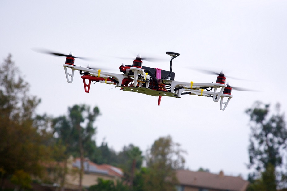
Drone technology adoption is having an impact across industries, from inventory tracking in manufacturing environments, to inspection of power lines and wind turbines by energy companies, to saving human lives in disaster recovery efforts. The data generated by drones can be infused with intelligence to augment the value that companies and governments deliver to customers and communities.
However, concerns about regulatory compliance, privacy, and data protection are still barriers for many organizations wanting to adopt drone technology at scale.
To help address these concerns, AirMap, a global airspace management platform for drones, is working with civil aviation authorities, air navigation service providers, and local authorities to implement an airspace management system that supports and enforces secure and ethical access to low-altitude airspace for drones.
AirMap has recently selected Microsoft Azure as its exclusive cloud platform to power its drone traffic management platform and developer ecosystem.
Azure is a cloud computing service created for building, testing, deploying, and managing applications and services through a global network of Microsoft-managed data centers.
The two partners will work together to evolve their products and scale to countries looking to enable the use of drones for commercial scenarios in a responsible way. With the AirMap platform powered by Microsoft Azure, customers will have access to more intelligent and ethical solutions for managing their drone operations around the world.
Switzerland is home to a thriving community of drone companies and host of the world’s first autonomous drone delivery network.
Skyguide, the air navigation service provider of Switzerland, is the first to deploy a nationwide airspace management system using AirMap technology, powered by Azure. Earlier this year, thanks to the integration of AirMap services, the national postal service Swiss Post and drone manufacturer Matternet kicked off beyond visual line-of-sight (BVLOS) operations to transport laboratory samples between Tiefenau Hospital and University Hospital Insel in Bern.
Other examples include the commercial drone manufacturer senseFly, which provides drone mapping solutions for surveyors, farmers, mining and quarry operators, as well as Zurich-based Wingtra, which specializes in building autonomous drones for precision mapping, according to prnewswire.com.
Through this collaboration, airspace authorities, commercial drones solutions providers and enterprises, will be able to better harness the power of AirMap’s drone traffic management platform built on the trusted and scalable cloud platform to accelerate a safe and sustainable drone economy.


