This post is also available in:
 עברית (Hebrew)
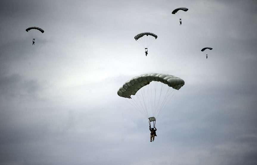
Strong winds can have a significant impact on any skydivers jump. However for soldiers, strong winds can also cause them to be thrown off course and be forced to land in a potentially dangerous landing zone, such as enemy territory, or land separate from their unit.
So how can parachuters prevent themselves from drifting away in a windy jump? One method would be to navigate themselves as they fall through the sky.
American soldiers were recently able to train jumping in windy conditions and landing in the proper landing zone with the help of the updated Parachutist Navigation System (PARANAVSYS), a navigation system that assists with mission planning and in flight navigation for military jumpers.
The updated PARANAVSYS utilizes GPS to help soldiers navigate through the sky. Older versions used compass-based navigation boards. The new system integrates critical navigation information with mission planning software for High Altitude Low Opening (HALO) jumps.
Soldiers participated in a series of high altitude jumps over a period of three days to evaluate the system.
“The System provides free fall jumpers a platform to plan high altitude standoff airborne insertions, as well as navigate to their desired impact point without having to look at multiple devices or use ground reference points the entire time throughout their flight,” said Army Captain, Phil Yandall. “They can utilize this system as a mission planning tool prior to execution as well as while under canopy to ensure they are maneuvering to their intended target.”
The PARANAVSYS will make it possible for parachutists to easily locate themselves and calculate the distance and direction to their landing zone. The system will tell soldiers their glide ratio, as well as make it possible for the soldier to reach multiple pre-planned impact points regardless of the weather.
Dvidshub.net reports that the system will need to be regularly updated in order to stay compatible with the Nett Warrior system, an integrated situational awareness system used by the United States Army.
The goal now is to improve the system. Soldiers still have to pay attention to a lot of different factors during their jumps and canopy flight. So the military is currently working to simplify the information jumpers use to make decisions.


