This post is also available in:
 עברית (Hebrew)
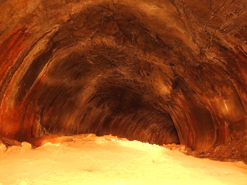
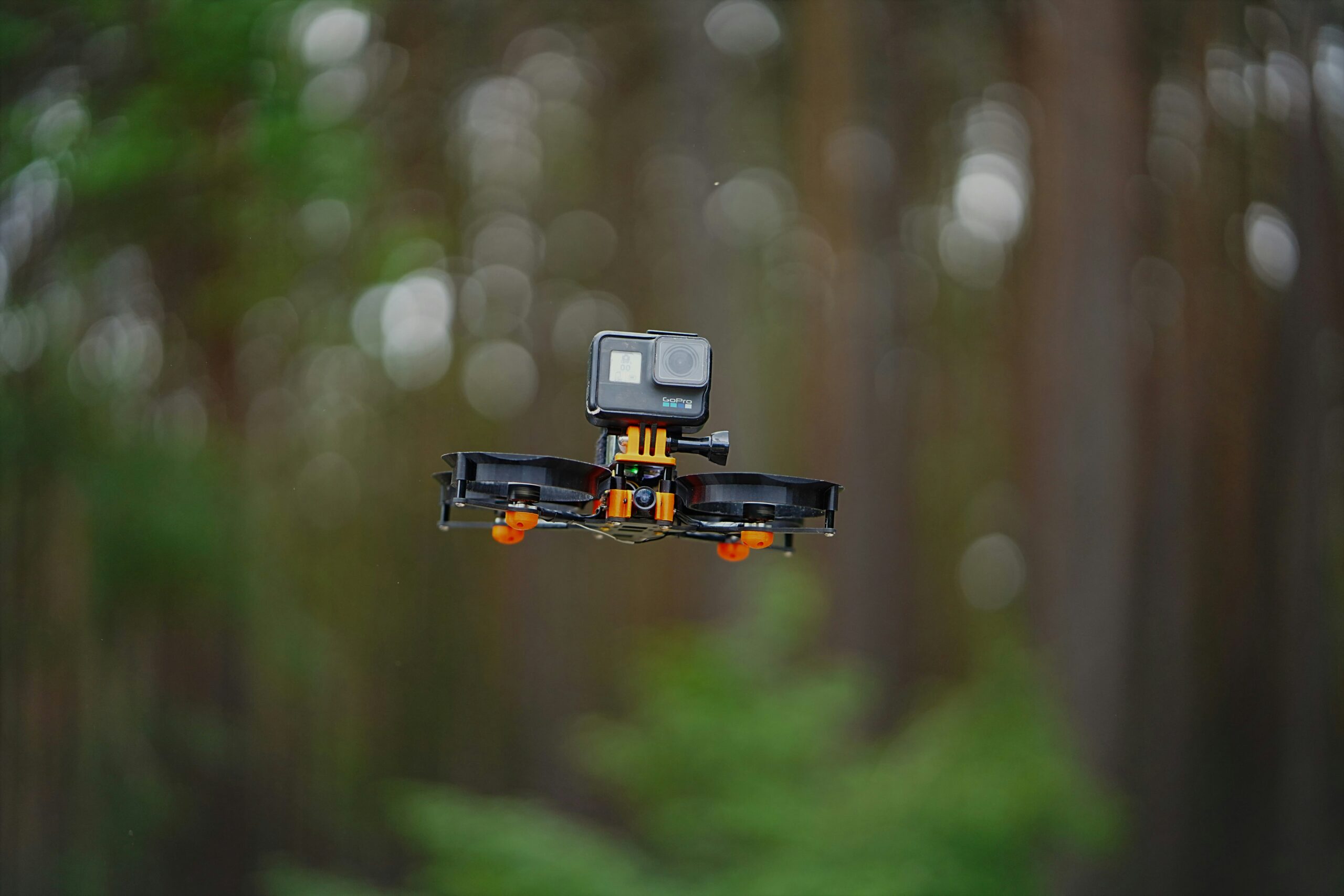
The SETI Institute and Astrobotic Technology have managed to successfully 3D-map the interior of a lava tube in Iceland using a drone with LiDAR capabilities. The Lofthellir Lava Tube Ice Cave in the Myvatn region of Iceland had its history of rock falls and ice formations documented, as well as the lava tube’s shape and extent all with the use of the LiDAR-equipped drone.
The mission to map out the Lofthellir Lava Tube was to validate the feasibility of sending a drone to map out caves on the Moon or Mars. With the help of LiDAR the drone managed to quickly map out the dark cave with no access to GPS or any maps of the lava tube, this makes the Icelandic ice cave ideal as a model for a Moon or Mars cave, since the caves on the extraterrestrial bodies remain unexplored by humans.
Both Mars and the Moon are known to have caves, most of which are found in either volcanic terrain, where ancient lava flowing underground managed to burn a tunnel like formation, and areas where asteroids and comets impacted the surface, causing the terrain to melt and cave openings to form. These caves are openings to an underground world unexplored by humans. Areas that are segregated from the harsh conditions on the surface, where the temperature and radiation fluctuates less and micrometeorites falling the sky are less likely to hit. These literal out-of-this-world caves have been proposed as possible shelters for future humans exploring these celestial bodies.
Furthermore, some of these caves might be cold enough to trap in water and ice due to a process called cold-trapping. The water and ice found could be examined to learn about the history of water on the Moon and Mars and may even give us hints as to if life ever existed there. The water could also be used for drinking, but break down the water into hydrogen and oxygen and you could even produce rocket fuel.
Sending in small spacecraft drones to study the caves would be the ideal way to execute surveys of these hidden areas. The drones could enter the cave, quickly scan and map the area, and exit the cave safely to send the data back to Earth and recharge on the surface.
Astrobotic, a company that deals with space robotic technologies, has developed a navigation software product, known as AstroNav, that grants drones the ability to autonomously explore and map underground areas. The software uses stereo vision and LiDAR to map out these subterranean lairs, without the help of maps or GPS and can explore new environments very quickly.
The AstroNav software, that surveyed the Lofthellir Lava Tube in Iceland, worked exactly as the programmers hoped. Seti Institute mentions that the drone managed to completely map out the dark lava tube in just a matter of minutes, giving an accurate model of the shape of the cave, as well as an accurate understanding of the caves rock falls, ice columns, and micro-glaciers.


