This post is also available in:
 עברית (Hebrew)
UAVs have been making the process of capturing and monitoring rail information safer, cheaper and faster worldwide. The ability to view an accurate digital picture of a railway vastly decreases the cost and time required for surveys in comparison to the existing methods.
Spanish tech innovator SigmaRail recently set its sights on signaling as the next potential avenue for drone domination. The company’s drones ventured out over a high-speed rail corridor being constructed between the Spanish cities of Alicante and Murcia. Instead of working with signaling plans, drawings and a lot of paper, images captured by the drone were used to create an accurate digital model of the rail corridor, which provided vital survey data for the company’s client, CAF Signalling.
The Alicante-Murcia line is but a small fraction of the EU’s Mediterranean Corridor, one of six rail corridors being developed with unified signaling systems under the European Rail Traffic Management System (ERTMS) standard. To meet the standard, it was required to accurately locate specific assets along the line and measure distances between them, enabling trackside infrastructure to send vital information to trains, such as the maximum distance they can run safely and points on the track they cannot cross.
Thus, signaling companies are generally required to carry out their own surveys using wheel measuring and GPS technology. This entails sending workers out during constrained maintenance time slots at night, a procedure that is not only hazardous but also increases the potential for human error.
This is where the drones come into play. For the unprecedented project, SigmaRail created specific tools to put data taken from UAVs into a format that CAF could use to program ERTMS equipment.
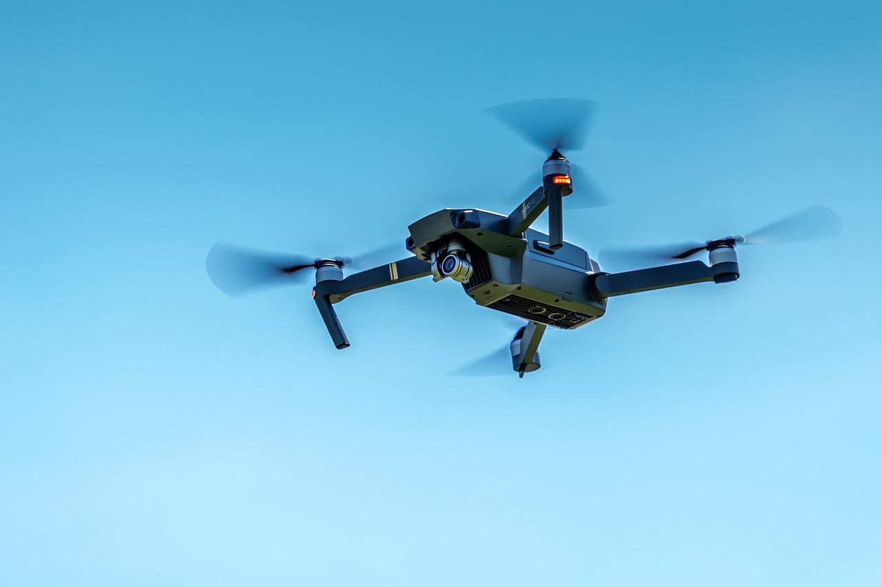
The drones are programmed to follow specific waypoints along the track autonomously, with manual input only required at predetermined take-off and landing points. Equipped with RGB or infrared cameras, the drones take thousands of pictures, each of which is geo-localized using an onboard GPS. The UAVs can cover a 6km section in less than an hour, while a 20-minute flight can accumulate 2GB of usable data.
The images are post-processed with dedicated software, which matches the common points on each picture and pairs them with a selection of ground control points alongside the track to create an accurate 3D model of the entire rail corridor, which can be viewed via an online platform called SigmaQ.
Resembling a sort of ‘Google Maps’ for railways, it can be used by engineering companies to highlight where maintenance is required. The digital railroad can also be used to automatically verify the correct installation of railway elements on the track against various engineering rules.
The algorithm powering the drones’ image recognition software already has a reliability range of between 96% and 98%. Machine learning will be an important part of the development process, as the more images supplied to the system, the better it will become at recognizing rail elements.


