This post is also available in:
 עברית (Hebrew)
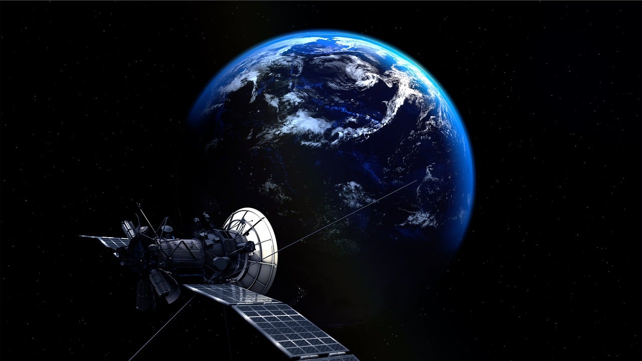
This is the first time that researchers have managed to train a machine learning model onboard a satellite in outer space, an achievement that could enable real-time monitoring and decision-making for a range of applications, like aerial mapping, weather prediction, monitoring deforestation, and natural disaster management.
The data being collected by remote-sensing satellites is very important for many critical actions, but most satellites are not equipped to make decisions or detect changes, so they can only passively collect data that has to be relayed to Earth to be processed, which typically takes several hours or even days. This whole process greatly limits the ability to rapidly identify and respond to emerging time-sensitive events like natural disasters.
According to Techxplore, a group of researchers at the University of Oxford led by DPhil student Vít Růžička decided to try and train the first machine learning program in outer space. With the help of the ‘Dashing through the Stars’ mission, they were able to uplink the code for the program to the ION SCV004 satellite when it was already in orbit.
They then trained a simple model to detect changes in cloud cover from aerial images based on “few-shot learning”- an approach that enables a model to learn the most important features to look for when it has only a few samples to train from.
Růžička explained that the model “RaVAEn” compresses the images into vectors of 128 numbers, and during the training phase learns to keep only the informative values that relate to the change it is trying to detect. “This results in extremely fast training due to having only a very small classification model to train,” he said.
Opposite to the usually longer process, the tiny new model completed its training phase going over 1,300 images in approximately one and a half seconds. When testing the model’s performance, it then automatically detected whether a cloud was present or not in around a tenth of a second.
The researchers further claim that the model could easily be adapted for different tasks and other forms of data. According to Techxplore, Růžička added that the group now intends to develop more advanced models that can automatically differentiate between changes of interest like flooding, fires, and deforestation.”
He further added that their other aim is to “develop models for more complex data, including images from hyperspectral satellites. This could allow, for instance, the detection of methane leaks, and would have key implications for combatting climate change.”


