This post is also available in:
 עברית (Hebrew)
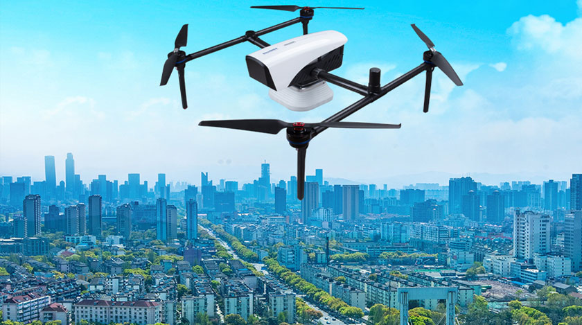
It can be loaded with up to 3 kilograms, hover for an hour continuously, and is equipped with a geospatial mapping system that allows map precision even from the bird’s perspective.
Based on the K8 GNSS platform from ComNav Technology, this unique mapping solution is being implemented in the company’s new drone – the E300. Powered by a camera and a flight control software, it can provide accurate results down to the centimeter. Photography, urban construction, rescue, and even mining can all benefit from the technology.
Adaptable to a wide range of GNSS frequencies (GPS L1 / L2 / L5, BeiDou B1 / B2 / B3 / B1C / B2a, GLONASS L1 / L2, Galileo E1 / E5 / E5-b / AltBOC / E6, QZSS L1 / L2 / L5), the E300 supports RTK (kinematic real-time). A Quantum III GNSS module provides reliable results with a stable and reliable RTK and is compatible with PPK software. Synchronization technology built into the camera helps reduce the error range and ensures accurate performance.
A variety of base stations and CORS systems can be used with the drone, which supports the NTRIP protocol. The craft is capable of carrying three kilograms and hovering for 60 minutes without a load, and for 50 minutes with a basic load. With a single battery charge, it can cover up to 10 km per flight, and map as much as 0.62 km2 (1.5cm / px GSD) per flight. According to unmannedsystemstechnology.com, the drone’s simple design simplifies assembling it in just one minute while maintaining stability and durability.
Discover more interesting innovations at AUS&R 2022 – the Unmanned Systems and Robotics Conference – the tenth annual event, by iHLS.


