This post is also available in:
 עברית (Hebrew)
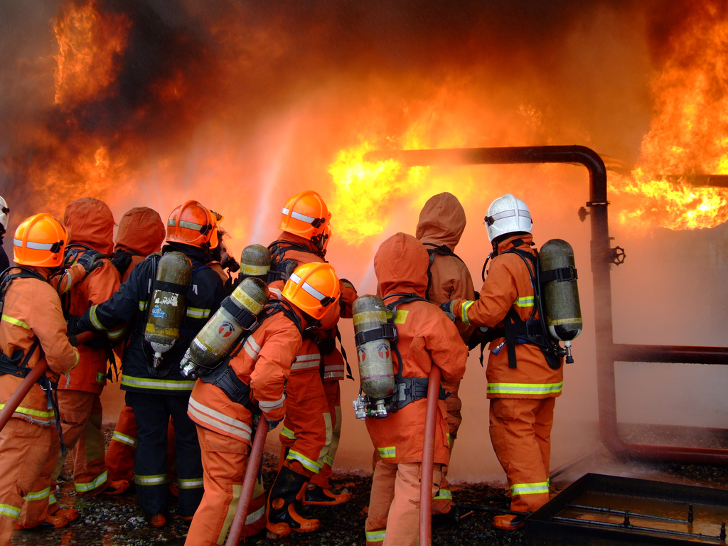
In an emergency, having floor plans and other updated information about buildings and facilities can save first responders critical time. The US Air Force wants high-resolution 3D scans of the interiors and exteriors of its facilities so it can give civil engineers, firefighters and medical responders greater insight into the condition of buildings before and during emergencies.
A pilot project aims to build a standard for capturing 3D facility/infrastructure scans and developing repeatable models that can be used across the Air Force enterprise.
Officials expect the 3D scans and point-cloud models to reduce manual work, assist with training and increase the accuracy of facility condition assessments — all while helping fire and emergency services plan event response.
Eventually, the system should be able to acquire data at a walking speed, use field hardware/software to manipulate the data and compare newly acquired images to historical data.
According to defensesystems.com, the resulting solution should be intuitive and easy to use, available on the Air Force network and not require the target non-technical users to install specialized hardware or software. Users should be able to zoom in and out, rotate the model, take measurements, redact sensitive information and export images and point clouds of the interior spaces of facilities. Eventually, the Air Force wants internal staff to be able to create and use the industry-standard 3D models at all Air Force installations.


