This post is also available in:
 עברית (Hebrew)
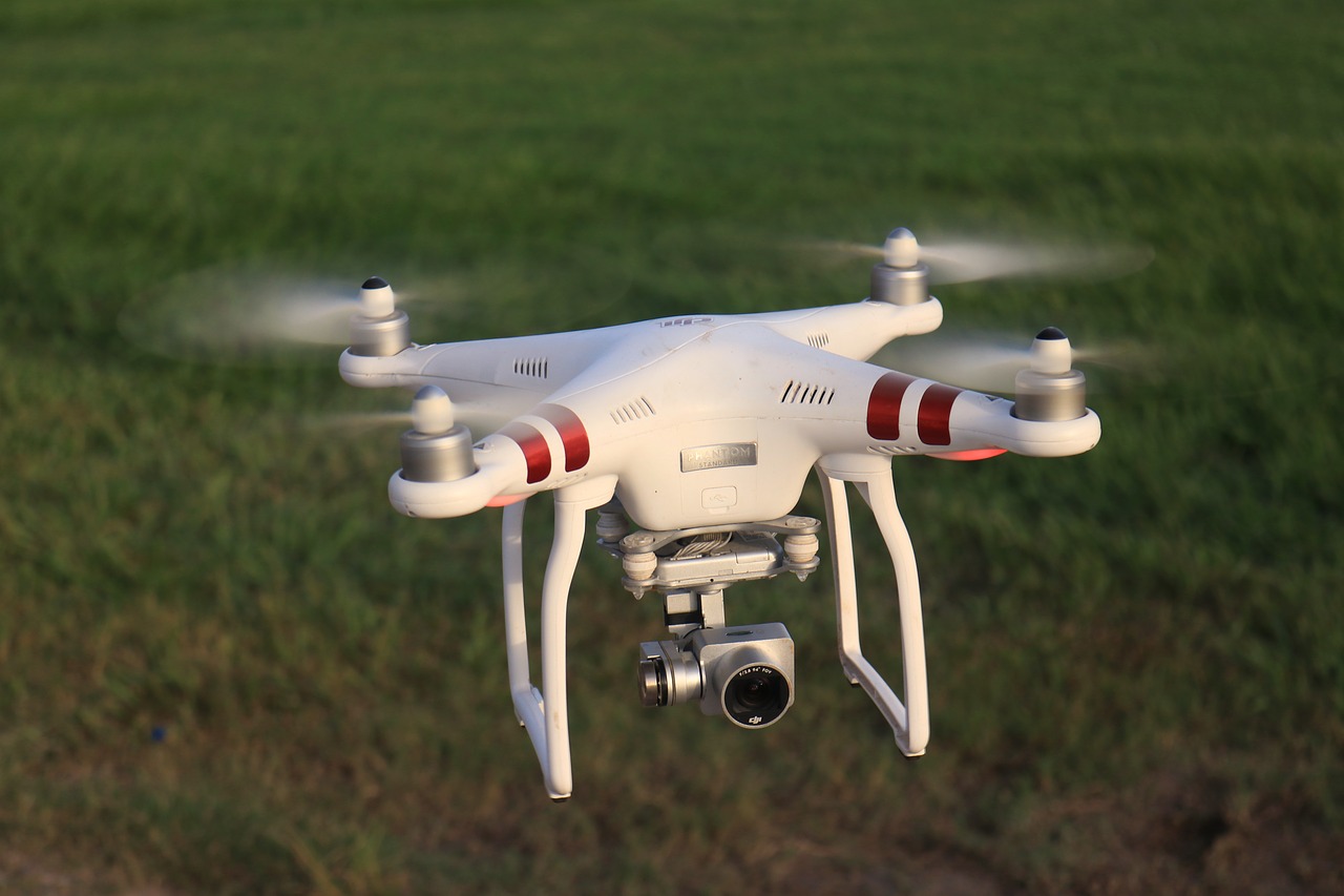
Drone pilots can now see in the sky an amazing amount of data. A new drone AR system could entirely change what flight beyond visual line of sight (BVLOS) really means.
Using the Microsoft HoloLens, the system allows the pilot to see all of their telemetry data in the sky, rather than having to look down at a screen. Way points and hazard detection are features that are unique to the solution, and height, distance and satellite count are visible at the glance of your eye when following the drone in the sky. The video feed is also available on the HUD. In addition, the solution shows which direction the drone is facing.
According to dronelife.com, the drone AR solution developed by Anarky Labs will support the DJI Smart Controller.
While drone AR is a concept sure to catch the public’s eye, it’s also a real tool to enhance 3D situational awareness for pilots – increasing safety and enabling advanced operations.


