This post is also available in:
 עברית (Hebrew)
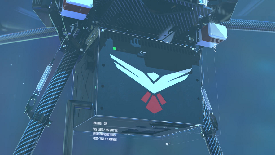
An American technology company has recently introduced its new LiDAR mapping system. A division of 4D Tech Solutions Inc, RedTail LiDAR Systems, have unveiled the RTL-400 LiDAR mapping system. The RTL-400 has been designed to provide high resolution 3D images of grounded objects from small drones flying at heights around 400 feet.
With the help of technology licensed from the United States Army Research Laboratory (ARL), the RTL-400 can provide scanning capabilities for several different applications, ranging from construction site management to agriculture.
The system utilizes a microelectromechanical system (MEMS) that evenly distributes laser pulses to the ground with the help of a mirror based laser scanner. The laser that can shoot pulses at rates of up to 400 thousand pulses a second, helps yield high resolution and high density images.
In contrast to other LiDAR systems, the RTL-400 can be used in two different scanning modes. Asides from the traditional line scan mode, where the drone scans as it flies, the RTL-400 also offers a raster scan mode for “stand and stare” missions, as put by Uasvision.com.
“We are very excited to introduce RedTail LiDAR System’s RTL-400,” said Brad DeRoos, President and CEO of RedTail LiDAR Systems. “This product has been optimized for use on small drones, providing high quality point clouds to meet the needs found in the numerous fields where LiDAR is used.”


