This post is also available in:
 עברית (Hebrew)
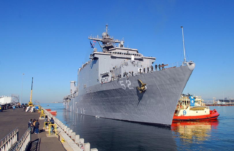
Maritime pilots help to guide ships into harbors with the help of GPS, but the existing technology is limiting. A new satellite system could significantly improve positioning data. The federal government agency Geoscience Australia is trialing a new stand-alone GPS that has an accuracy of five to 10 m and is expected to bring the performance of positioning down to around 10 cm.
This technology could deliver huge benefits to industries like the maritime sector, including cruise ships.
Currently, pilots rely partly on the computer screen for situational awareness, but also on looking out the windscreen because the GPS available isn’t enough.
The technology is called a Satellite Based Augmentation System. According to infosurhoy.com, it uses data from existing global satellites, along with infrastructure on the ground, to improve its accuracy.
“We’re taking data from that network in real time, computing some corrections which we’re then broadcasting via a communications satellite to the whole of Australia,” researcher John Dawson said.
“The signals that we will ultimately transmit, if this signal moves from a testbed into something more operational, will be able to be utilised by all Australians.
Other industries taking part in the trial include mining, construction, aviation and agriculture.
“We’re also working on a number of automated and intelligent vehicle projects, and in fact, this technology is already being tested in an automated car in Melbourne.
The testing period runs until January 2019, after which the Federal Government will make a decision on its future.


