This post is also available in:
 עברית (Hebrew)
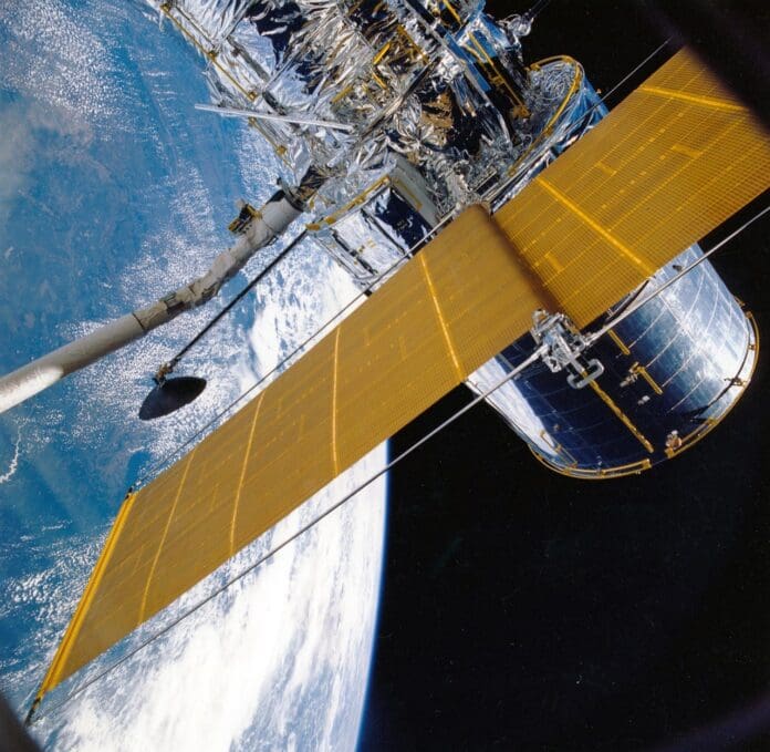
In a groundbreaking achievement, the CogniSAT-6 satellite, managed by Dublin-based space technology firm Ubotica, has demonstrated the ability to identify and analyze objects on Earth’s surface in real time using artificial intelligence (AI), dubbed “SPACE:AI”. Launched in March of this year, CogniSAT-6 is the first satellite to integrate AI technology for live Earth observation.
This advanced satellite successfully identified 142 ships near a port within minutes, marking a significant leap in satellite imaging technology. Then, the data was transmitted in real-time to ground controllers, representing a global first for commercial Earth Intelligence systems.
“This is a paradigm shift for Earth Observation,” said Ubotica’s CEO. “The industry has long sought a model of live Earth intelligence, where insights are generated onboard and immediately relayed to the ground. The CogniSAT-6 mission is the first to achieve Live Earth Intelligence, revolutionizing the capabilities and cost-efficiency of Earth Observation.”
Traditionally, Earth observation has faced limitations due to slow, expensive methods. These satellites gather raw data that must be processed on the ground, which is a time-consuming process. SPACE:AI has enhanced satellite efficiency, allowing real-time processing and communication. CogniSAT-6 exemplifies this advancement, using a network of satellites to transmit data directly to Earth without delay. It can identify vessels, their location, size, and direction quickly, relaying the information in real time. This information can be combined with Automatic Identification System (AIS) data to detect suspicious vessels engaged in illegal actions.
In a recent observation, CogniSAT-6 captured an image of Khor Fakkan in the UAE, analyzing it at a rate of 21.3 km² per second and identifying 142 ships outside the port. Similarly, the satellite observed Galveston, Texas, detected 37 ships entering the channel and instantly relayed the data to ground control. According to the press release, the team at Ubotica developed a sophisticated image training process, simulating CogniSAT-6’s output to ensure the algorithms provided accurate insights from the initial images captured. This satellite is poised to make Earth observation faster, more affordable, and more actionable.


