This post is also available in:
 עברית (Hebrew)
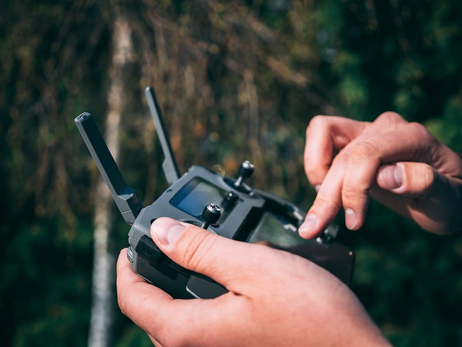
Malicious drones can cause vast damage to aircraft, infrastructure, etc. One of the challenges is the detection of their operators. Currently, drone operators are located using RF techniques and require sensors around the flight area which can then be triangulated. However, this method is challenging due to the amount of other Wi-Fi, Bluetooth, and IoT signals in the air that obstruct drone signals.
Israeli researchers have come up with a way to pinpoint the location of drone operators seeking to cause harm or disruption in protected airspace. A team from the Ben-Gurion University of the Negev (BGU) have demonstrated how analysis of flight paths may be useful in tracking malicious operators down.
Led by Dr. Gera Weiss from BGU’s Department of Computer Science, the team attempted to tackle the problems associated with monitoring flight paths accurately, made more difficult due to the variety of electronic signals all around us.
Their solution suggests the use of neural networking. Rather than focusing on trying to untangle a variety of signals, the network was trained to predict the location of an operator using only flight paths — even when in motion.
The tests were conducted using AirSim, an open-source, cross-platform simulator for drones. The researchers used 10km of roads and realistic obstacles such as buildings. The algorithms were able to predict the location of a drone operator with 78% accuracy during simulations, and while the experiment is small, BGU says possible paths towards improvement include improving the machine learning pipeline or even attempts to gain insight into the skill level or training of an operator.
The research team now intends to repeat the experiments with drones in real-time, as reported by zdnet.com.


